Vienna-Rossatz-Austria
Introducing the Bicycle Path
53 miles (86 km)
Total so far: 363 miles (585 km)
Ascent: 1070 ft (326 m); Descent: 874 ft (266 m); Max Elevation: 819 ft (250 m)
- World > Europe > Austria > Wien > Vienna – map
- World > Europe > Austria > Niederosterreich > Rossatz – map
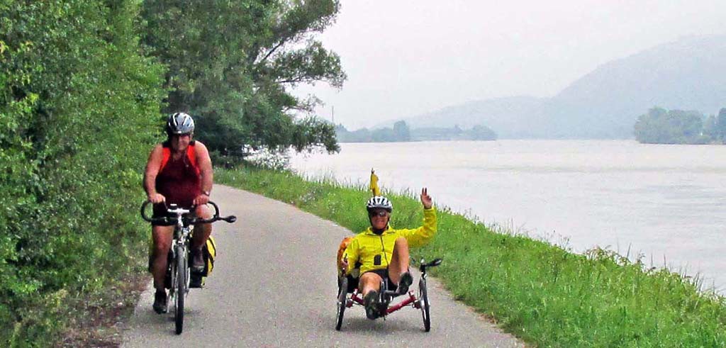
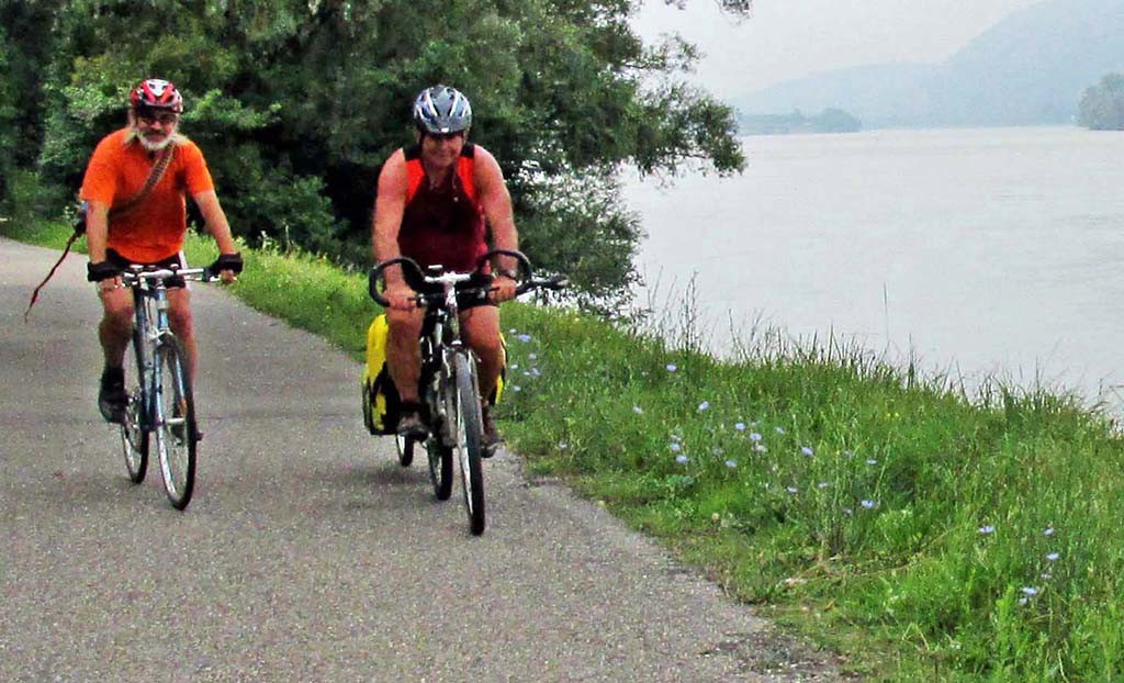
- Vienna-Rossatz-Austria-bike paths
- Vienna-Rossatz-Austria-bike paths
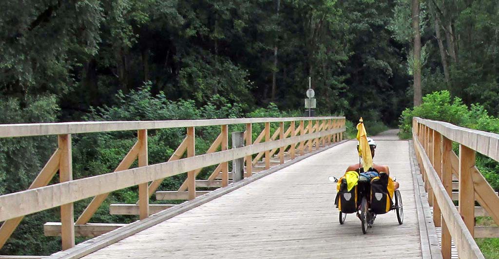
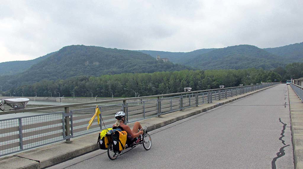
- Vienna-Rossatz-Austria-bike paths-bike bridges
- Vienna-Rossatz-Austria-bike paths
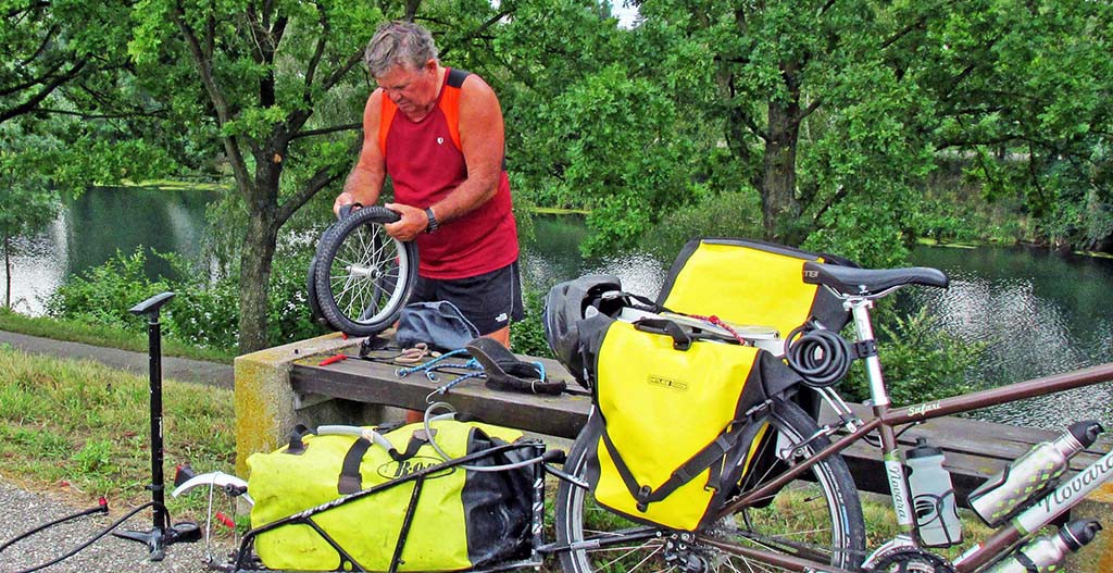
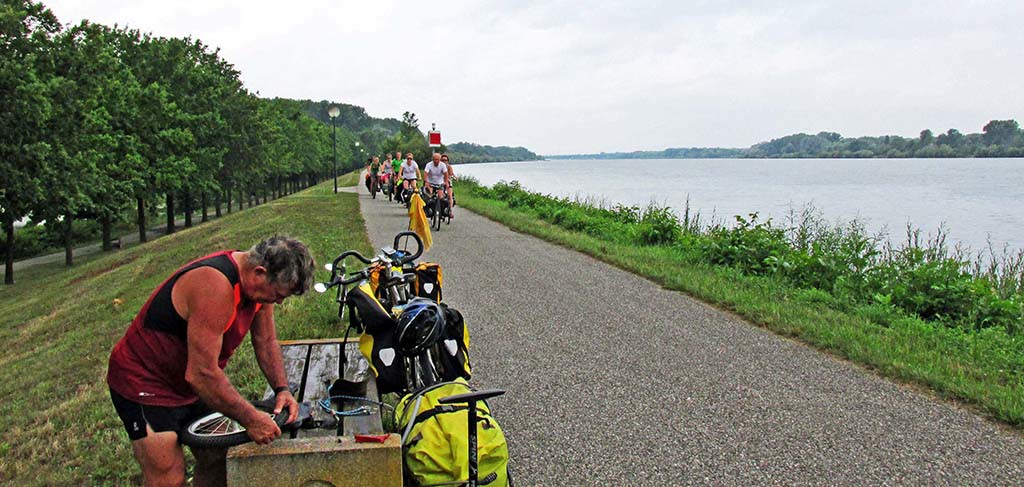
- Vienna-Rossatz-Austria-bike paths-flat tire!
- Vienna-Rossatz-Austria-bike paths-flat tire!
We stopped in Tulln which is a little bit larger town. They have many cafés to choose from for lunch. We had lunch on a floating boat on the Danube.
- Vienna-Rossatz-Austria–floating restaurant
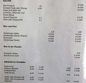
- -Vienna-Rossatz-Austria-Menus in German
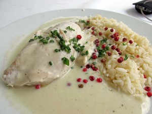
- Vienna-Rossatz-Austria–Creamed chicken and rice
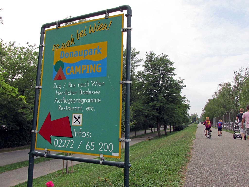
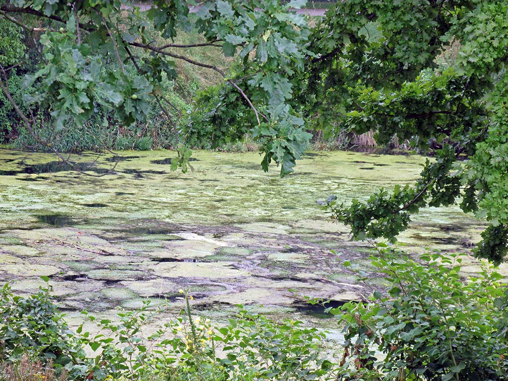
We passed camping grounds, wetlands, beer gardens, all the time following the scenic Danube
- Vienna-Rossatz-Austria-camping
- Vienna-Rossatz-Austria-wetlands
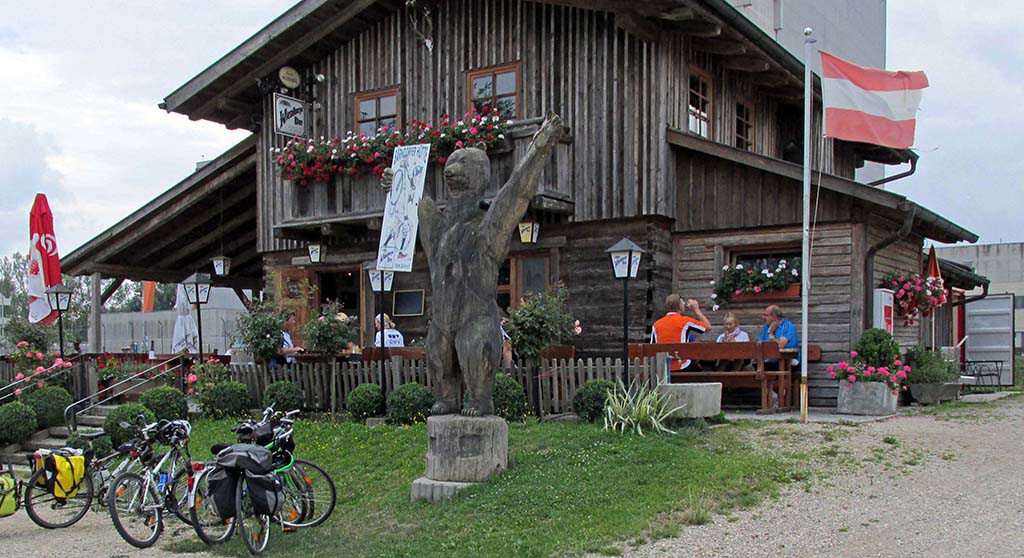
- Vienna-Rossatz-Austria–beer garden
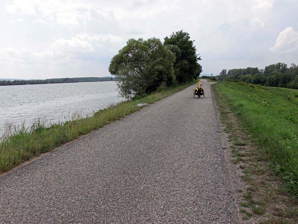
- Vienna-Rossatz-Austria–bike paths
We stayed on the right bank heading west all the way to the power station at Altenworth. We met some Hungarian bicyclists who told us there was a very lovely campground in Krems. We did not bother to look at our map to see that Krems was a very big city. They mentioned the old town of Krems, but we did not realize that we would be cycling through a very busy city that took extra time to get around on bicycle paths.
We wish we had not done that; we wish we had stayed on the right bank instead of going to Krems. Finally we got through the city of Krems to the bridge and crossed back over to the right bank. We never saw the campground.
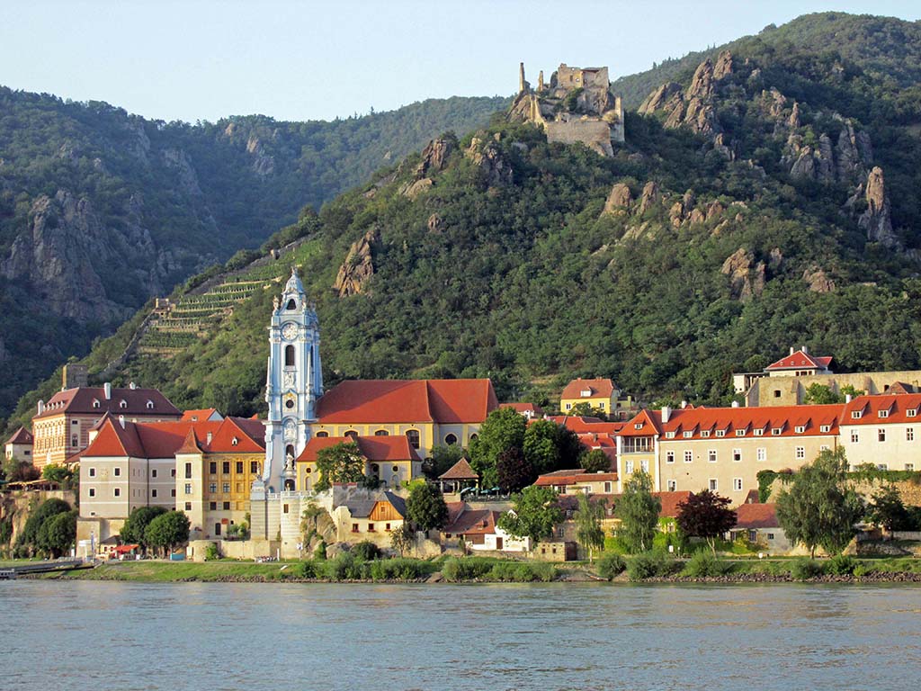
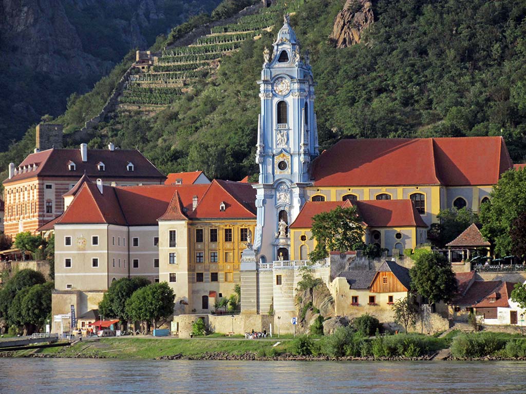
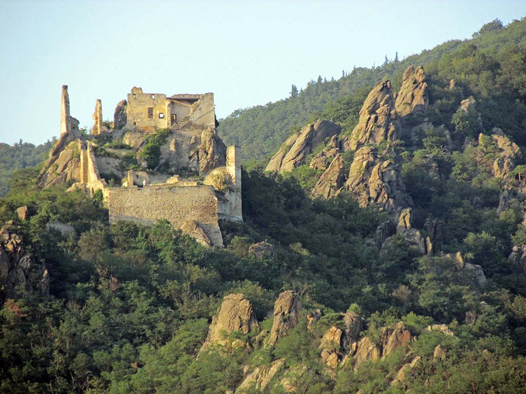
Now we just had 5 km to go to Rossatz where there is a lovely campground right on the river. It is a tiny little town with a grand view of Durnstein, a World Heritage Town across the river.
- Vienna-Rossatz-Austria–Durnstein-Blue Church
- Vienna-Rossatz-Austria–Durnstein-Blue Church
- Vienna-Rossatz-Austria–Durnstein-castle
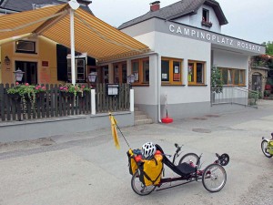
The campground is small but it only cost us €17 including Internet. They have a restaurant there for supper. We were planning to have breakfast there, but what we did not know until the morning was that you’re supposed order your breakfast the night before. So, we went without.
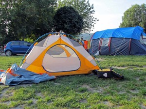
- Vienna-Rossatz-Austria-Rossatz campground
- Vienna-Rossatz-Austria-Rossatz campground
- Vienna-Rossatz-Austria–Rossatz campground
We have not seen any grocery stores so far along the route. Undoubtedly, we could find them further into the towns, but along the bicycle paths are cafes where you spend a lot more money!
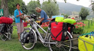
We met lots of cyclists at the campground.
