Savigny-en-Veron-Gennes
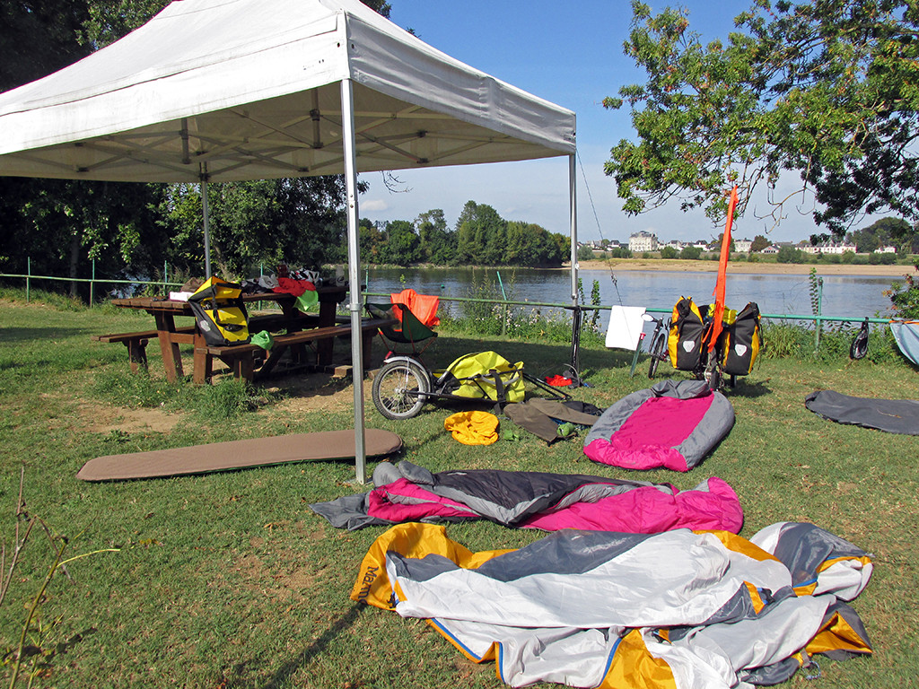
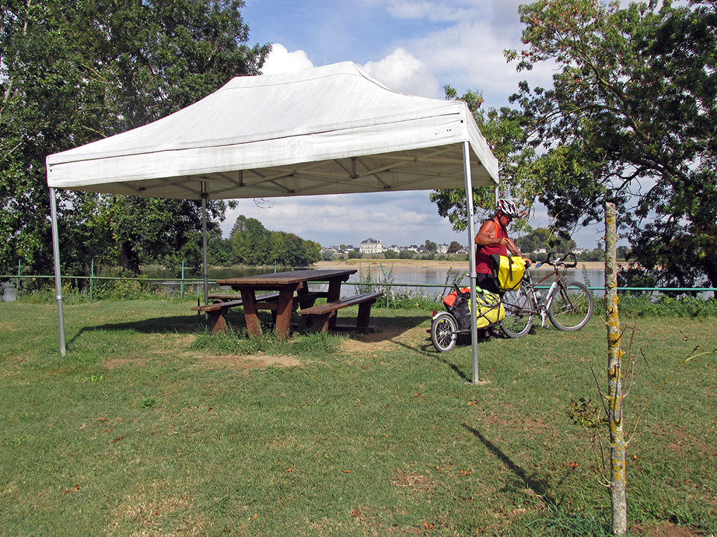
Favorite Campsite in Gennes
24 miles (39 km)
Total so far: 1,660 miles (2,672 km)
Ascent: +337 (103 m); Descent: -334 ft (102 m)
- World > Europe > France > Centre > Savigny-en-veron – map
- World > Europe > France > Centre > Candes-Saint-Martin – map
- World > Europe > France > Pays de la Loire > Montsoreau – map
- World > Europe > France > Pays de la Loire > Gennes – map
Our campground in Savigny-en-Veron is closing in two more days. We seem to be just ahead of these campground closures and hope we make it to the end. We do like to have the bathrooms and the power for recharging our electronics if possible. The price of the campgrounds has remained around €10 which is extremely reasonable.
The route for the day does not include going to Chinon. That would require the 20 kilometer detour which we did not feel like doing. We have seen some marvelous château’s, castles, abbeys, monasteries, churches and we simply cannot see them all. There will be plenty on the route today on the way to Gennes.
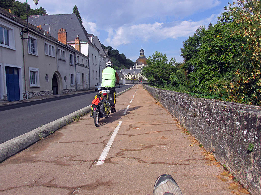
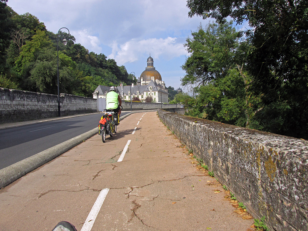
We find the bicycle paths in this part of France to be in poor condition. In eastern France, when we entered the country from Switzerland, the bicycle paths were absolutely beautiful. The further west we go, the worse they seem to get. The bicycle paths after leaving our campground in Savigny-en-Veron were bumpy with big potholes and rough.
- Savigny-en-Veron-Gennes-rough bike path
- Savigny-en-Veron-Gennes-rough bike path
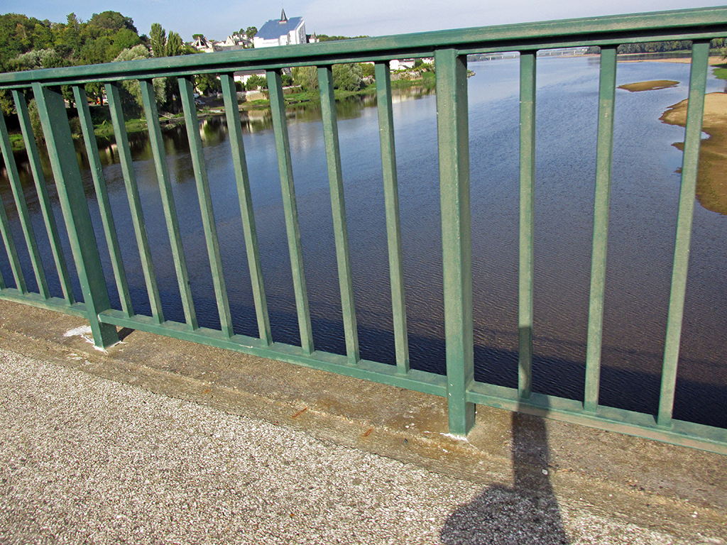
It was 11 km to Candes-St-Martin where we crossed the La Vienne River and rejoined the Loire.
Savigny-en-Veron-Gennes-La Vienne River
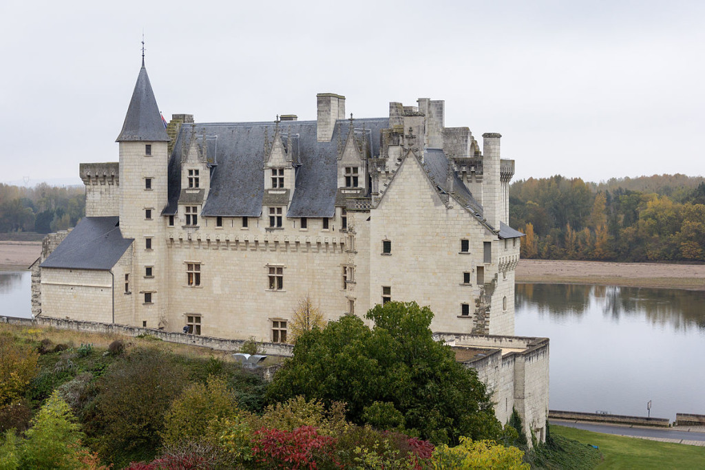
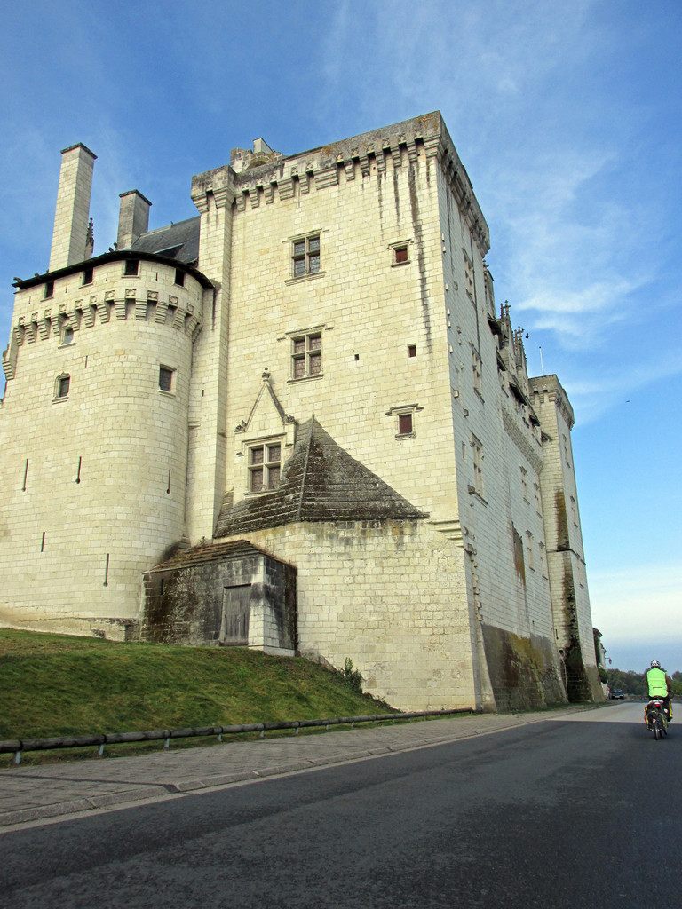
There is a lot to see on this day including the Castle Montsoreau and at least a dozen more châteaus right along the route. The towns are old and seem to carry history with them. Photo: Myrabella / Wikimedia Commons
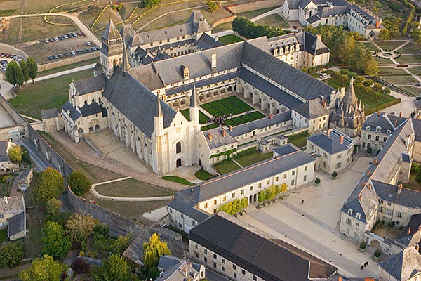
“Fontevraud3” by Pierre Mairé, PixAile.com – www.pixAile.com. Licensed under CC BY 2.5 via Wikimedia Commons – http://commons.wikimedia.org/wiki/File:Fontevraud3.jpg#/media/File:Fontevraud3.jpg
A second route which we were going to take shows on the map as a flat bicycle path going along the Loire River. This was the worst mistake they have made in the entire book. That bicycle path along the Loire was in terrible condition of, dirt, and grass, and was probably never used. But it was signed EV 6!
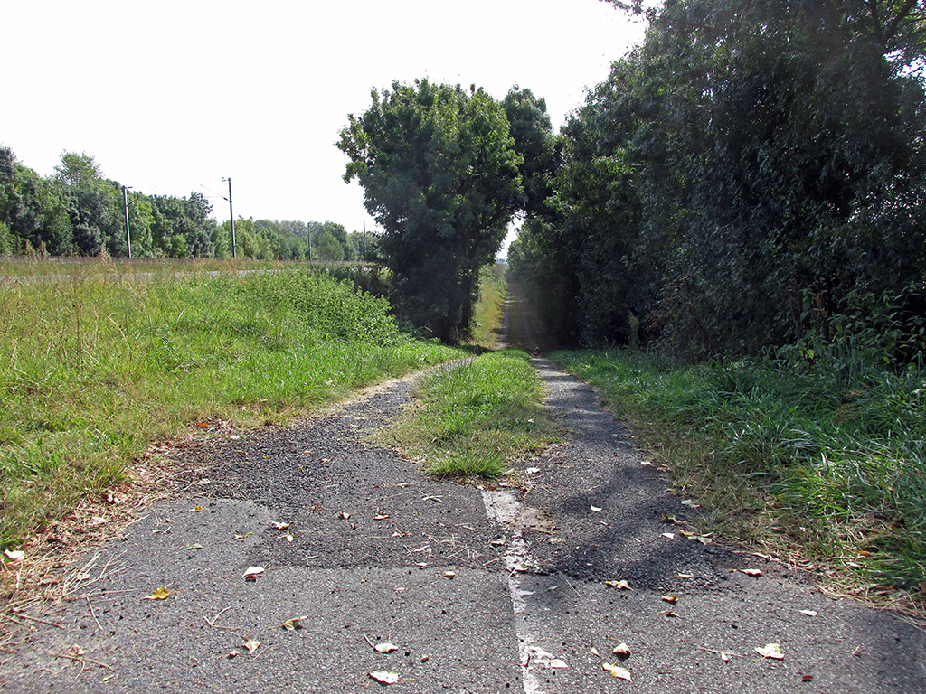
Savigny-en-Veron-Gennes-bad bike path
We followed the road D947 instead. Some parts of it had a bicycle lane. Other parts were just two lanes wide for cars. Still the French drivers, we feel in comparison to American drivers, are extremely courteous and slow down and give you plenty of space. Even the truck drivers. So we were comfortable riding the Highway all the way through to Saumur.
Along the route on this highway we saw some amazing sites. There is a cliff along the Highway that marks a steep ascent to a plateau. In the cliff, are many cave houses. Yes, people have chosen to use a cave in the hillside as part of their living quarters and have built walls like the Anasazi did in ancient times in the front of the cave or, have added complete castles to the front. Mile after mile of this could be seen while we were riding on the highway.
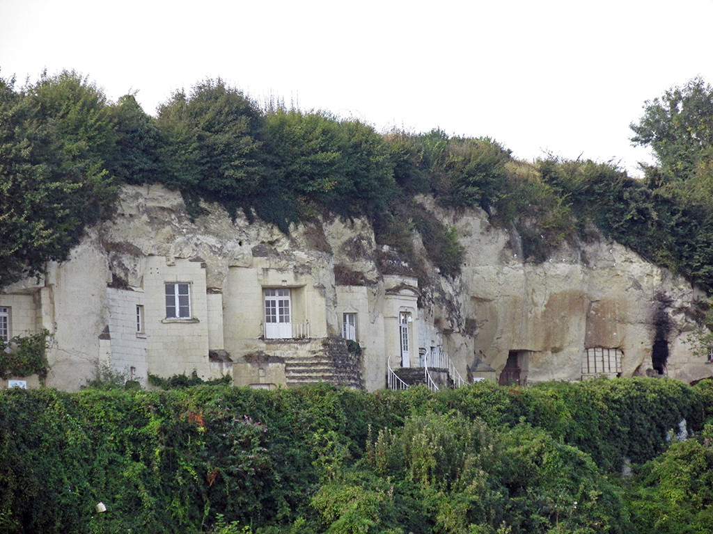
Savigny-en-Veron-Gennes-Cliff houses
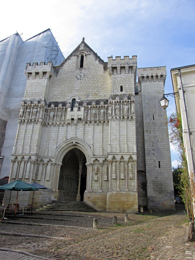
There were so many signs to different châteaus and castles and churches and abbeys along the route one could not possibly keep track. It was a delightful ride as far as Saumur.
- Savigny-en-Veron-Gennes-unknown
- Savigny-en-Veron-Gennes-cathedral
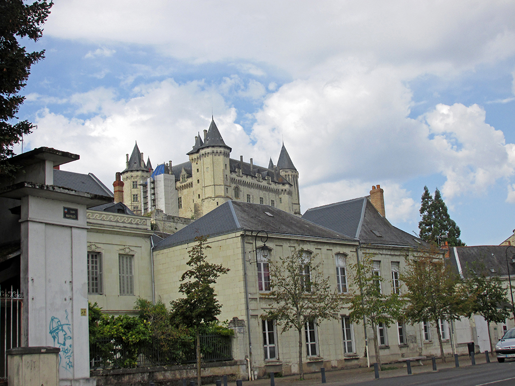
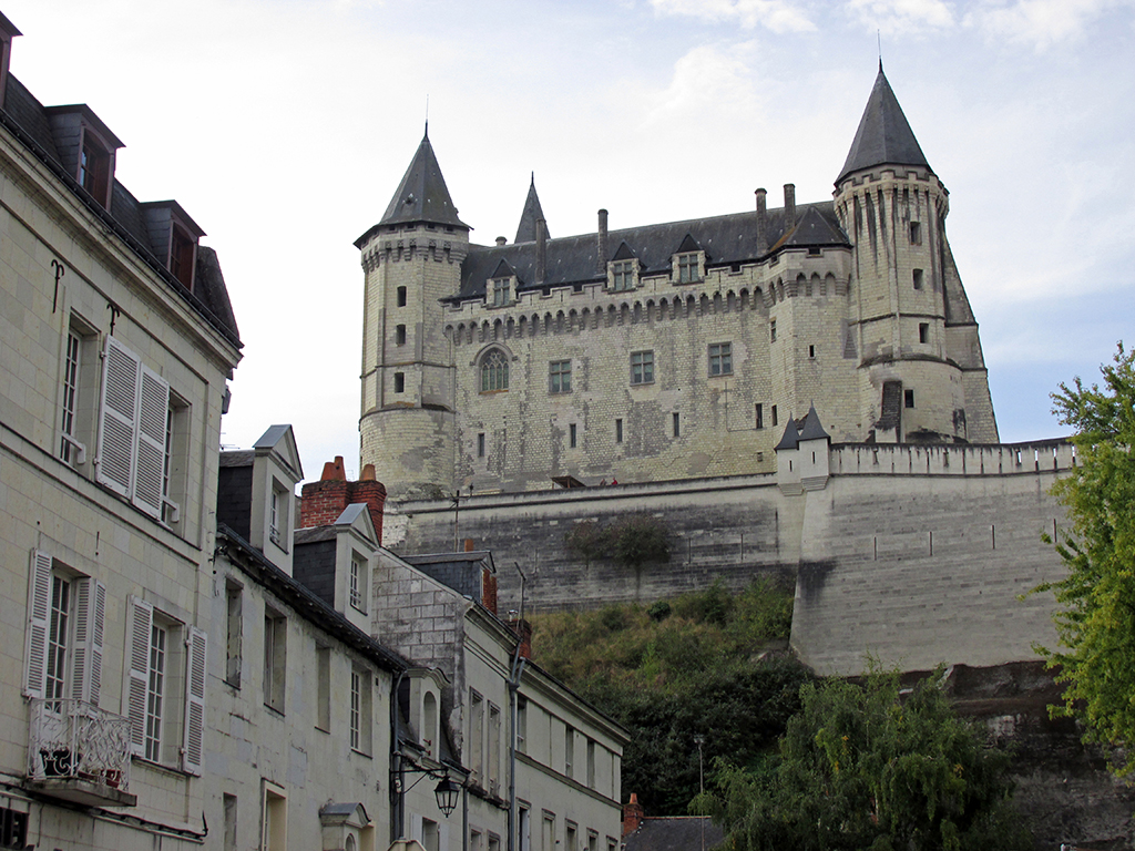
Saumur castle dominates the hillside as we cycle along on the highway.
- Savigny-en-Veron-Gennes-SaumurCastle
- Savigny-en-Veron-Gennes-SaumurCastle
Then from Saumur, our book described riding along the right bank. The right bank looked like a pleasant route as it would be flat and the left bank was quite hilly. The book said it was a new, well paved route with a lot of scenic value. Obviously, the writer has never been here. There was no bicycle path most of the way. What bicycle path we saw was rough gravel with a lot of grass growing up through it. It looked like it hadn’t been used in 40 years. It was also far from beautiful as it was right alongside the highway D952 and buried from view of the Loire by heavy trees. So, we opted for the Highway again. Sections of D952 had a bicycle lane. Other sections were without. But the bicycle path, which was signed with EV 6 signs, was absolutely atrocious and inexcusable for a bicycle path with people who are traveling with luggage.
We arrived on the opposite side of the river from Gennes and crossed the river on an impressive bridge and just a half a kilometer away found our campground right on the Loire.
This is perhaps are nicest campsite of our entire trip. It seems the French appreciate cyclists to the point where they give them the priority site along the river with the views. We have seen this constantly in France. In Germany they put the bicyclists in a tight little area surrounded by hedges away from everybody else on the hardest ground and in the smallest space; shame on them. So here in France we have our loveliest campsite of all. Not only do they give us a view, but they have provided a picnic table with a cover over the top for rainy days. How thoughtful we think to provide such amenities for cyclists who cannot carry umbrellas on their bikes or tarps big enough to cover them in these downpours. With more rain expected for tomorrow, we are very glad to have this spot in case of another downpour.
- Savigny-en-Veron-Gennes-Gennes campground
- Savigny-en-Veron-Gennes-Gennes campground
