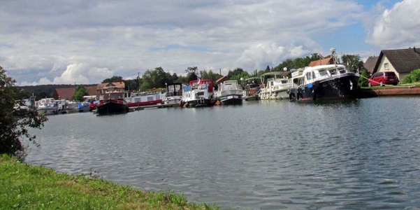
Mulhouse-Montbeliard-France
A Change in Scenery
36 miles (57 km)
Total so far: 1,057 miles (1,702 km)
Ascent: 1252 ft (381 m); Descent: 1119 ft (341 m)
- World > Europe > France > Alsace > Mulhouse – map
- World > Europe > France > Alsace > Montreux-Jeune – map
- World > Europe > France > Franche-Comte > Montbeliard – map
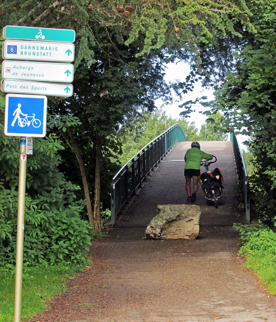
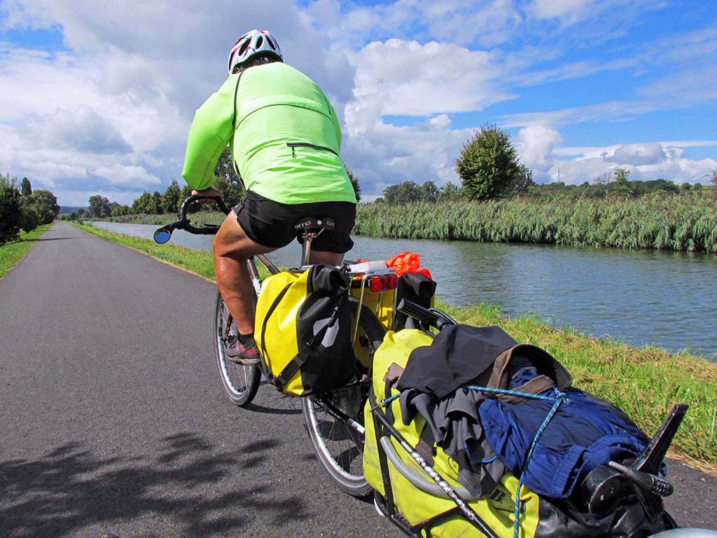
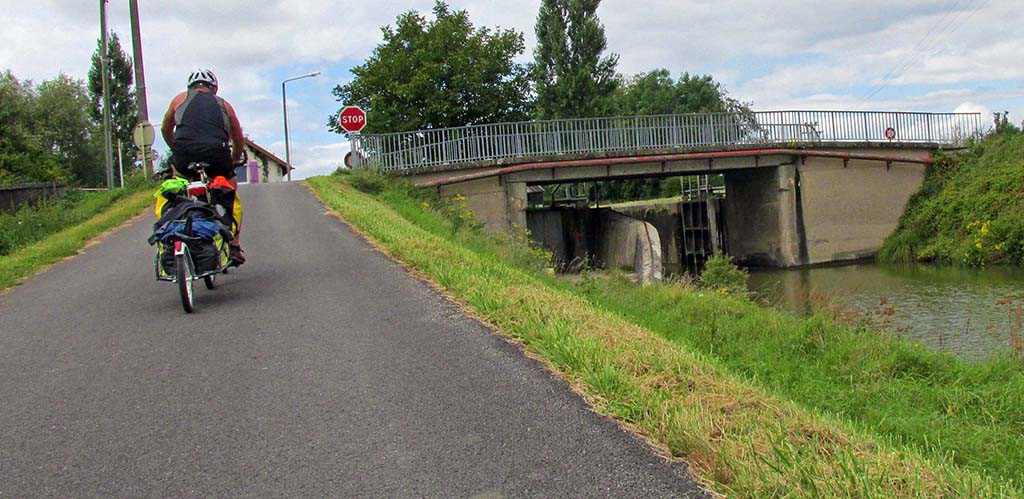
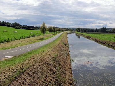
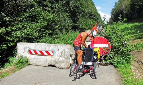
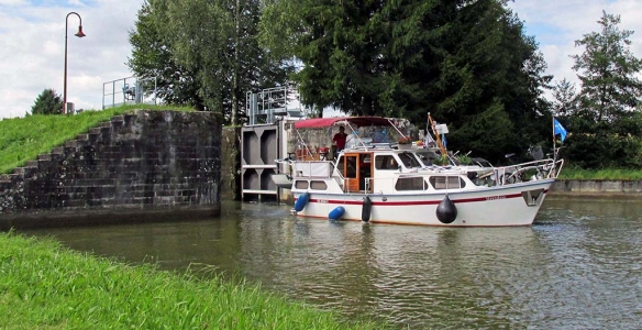
From Mulhouse, we rode along the Canal Du Rhone Au Rhin. It was a beautifully paved route alongside a canal. The beginning of the route from Mulhouse is uphill. As you progress towards Montreux, the locks get more and more frequent and therefore, the ramps leading up to the top of a lock get steeper and steeper as you progress. We had a strong headwind again today, but the paving was lovely and we didn’t get lost.
- Mulhouse-Montbeliard-France-canal Du Rhone Au Rhin
- Mulhouse-Montbeliard-France-canal Du Rhone Au Rhin
After Montreux, the canal goes downhill so instead of ascending each ramp to a lock, we descended. Never did figure out the geology of that!
Our map did not show any camping until L’isle-Sur-le-Doubs which was 85 kilometers away. At a lunch spot along the canal, the restaurant owner told us there was camping in Montbeliard. It was not marked on our map, but we were hopeful he knew it was there as that was a reasonable distance for us to make.
We stayed in the Hotel Du France. It is an unbelievable mansion. It looked almost deserted, like it had been in, its heyday, the place to stay. But the lady who owned the place must’ve inherited it from her family. We paid €60 for a lovely room and a garage in which to put our bicycles. We had dinner a short walk away in a lovely park restaurant.
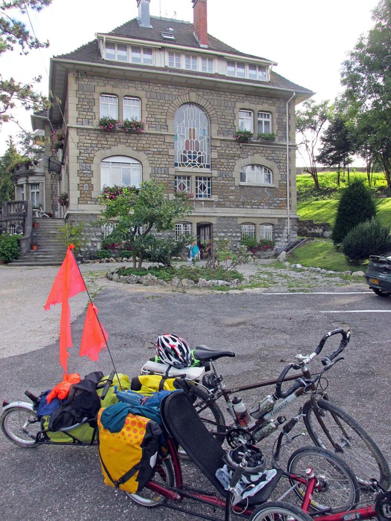
Mulhouse-Montbeliard-France-Hotel du France
This part of France is known as De La Suisse l’Alsace. It is a mountainous region famous for its vineyards. It has been fought over by warring countries for centuries. Our route along the canal, however, seems very remote and removed from commerce and towns. There were few places to eat or grocery stores for supplies; if you wanted to see a town, you had to leave the bike trail. The towns were very small and insignificant.
