Hiking Puyehue National Park-Chile
Puyehue Volcano Trail
Hiking Puyehue National Park
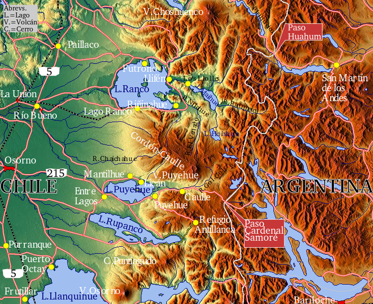
Hiking Puyehue National Park means making a choice about where you want to go. The park is divided into three sectors with different access points and facilities.
Aguas Calientes Sector: Is the main administrative center for the park; Warden Station; Environmental Interpretive Center; Thermal Pools.
Anticura Sector: Warden Station; Environmental Interpretive Center; Conaf Guard Station; Campsite.
Antillanca Sector: Ski Center; Hotel open year round, Warden Station.
All three sectors have a selection of hiking Trails
Hiking Trails in the Aguas Calientes Sector
An excursion trail to the Berlín lake (lago Berlín), is 6.8 miles long, and takes about 5 hours, round trip. It runs along a stretch of the old road from Aguas Calientes to Antillanca, up to the Berlín lake, where there’s a rustic shelter for six people.
- El Pionero recreational trail, which 5,905 feet long, takes 1 hour and 20 minutes round trip. It leads to a viewpoint.
- El Recodo recreational trail, is 1,246 feet, and takes 15 minutes round trip. It connects with the Aguas Calientes area where you can eat.
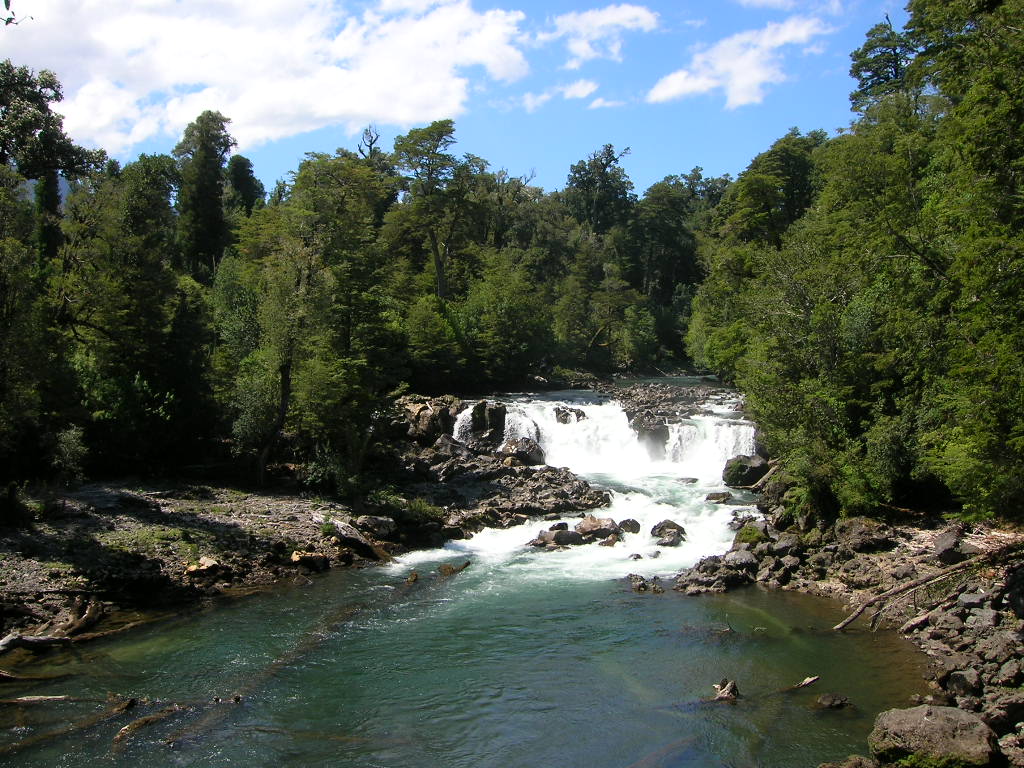
- The Chanlefú Rapids educational trail is 3,937 feet. It takes an hour and a half round trip. It leads to waterfalls and river rapids.
- Los Derrumbes recreational trail, 1,902 feet long, takes 45 minutes round trip.
- The pools of the Aguas Calientes reach up to 42°C/107°F, and make for an inviting spot to relax alongside the Rio Pichilanleufu
Hiking Trails in the Anticura Sector
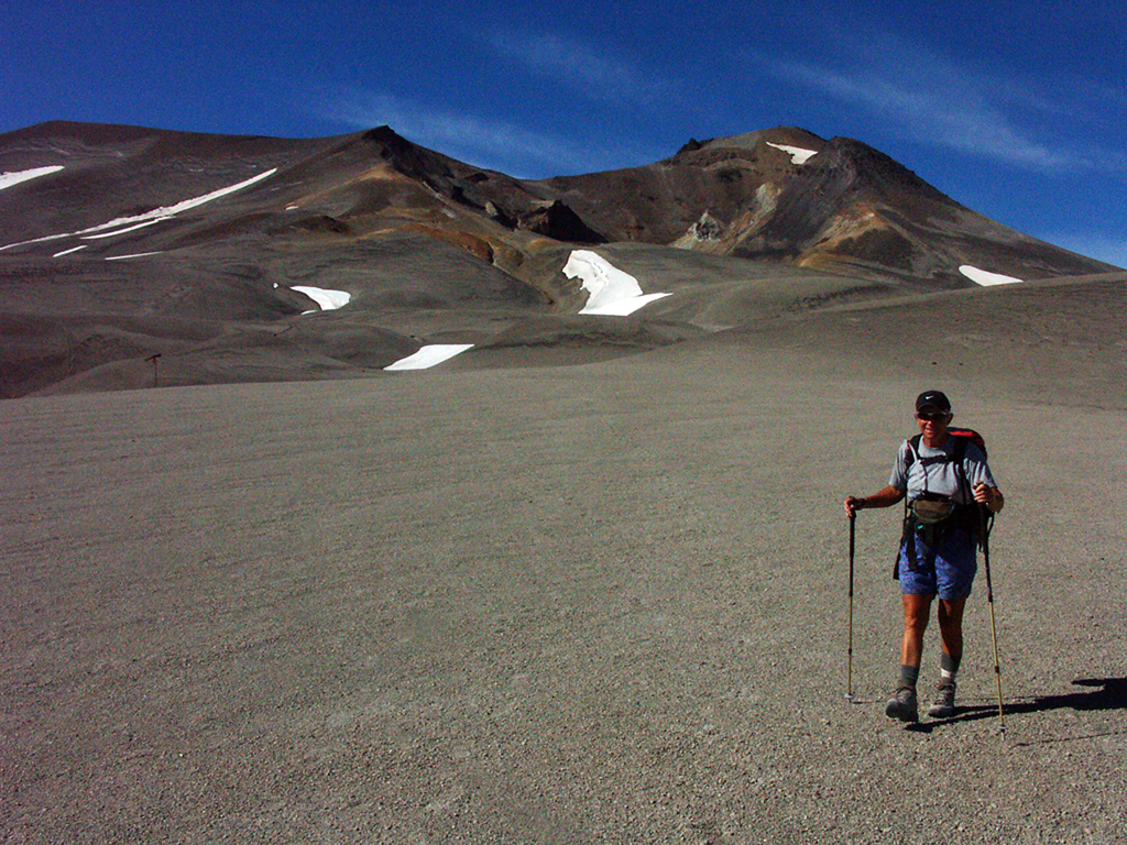
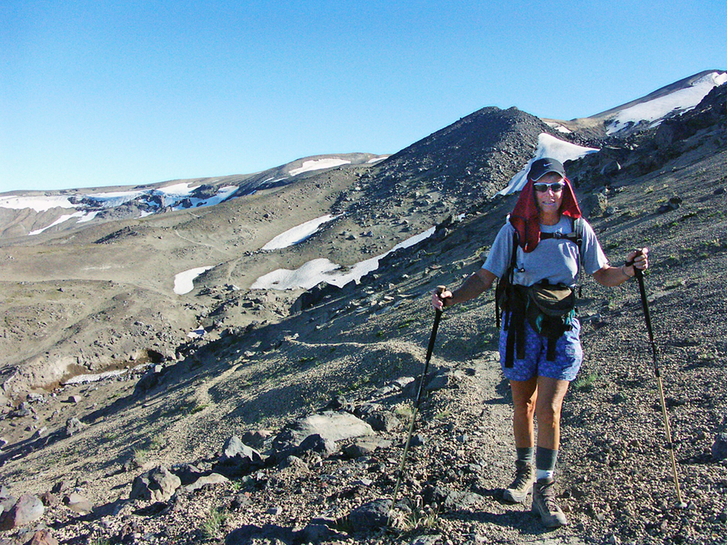
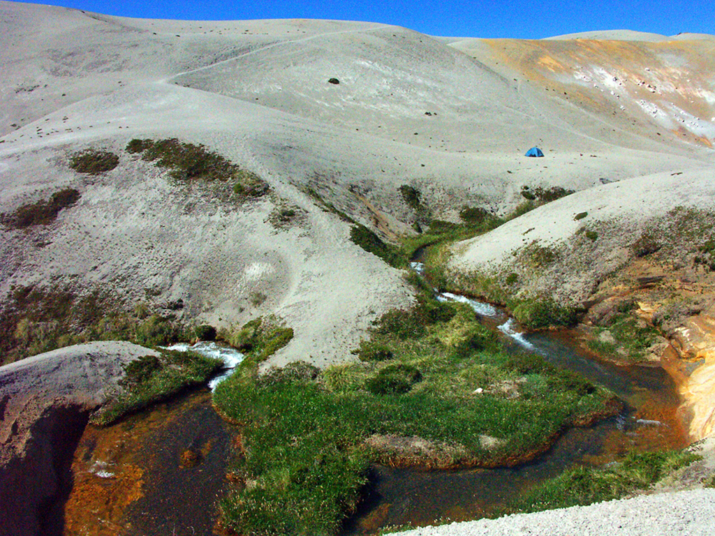
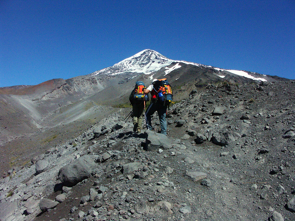
- An excursion trail to Puyehue volcano, is 9.9 miles long, and the volcano is 2240 meters high. This excursion takes 2 or 3 days round trip. It’s a self-guided trail that reaches the volcano, the sulfur deposits, and the hot springs of the Caulle mountain range. On the hillsides of the volcano there’s a rustic shelter for 12 people. During the 1960 earthquake, the volcano released flowing rivers of lava that turned a vast tract of the dense forest into sand dunes and lava spillways.
- Excursion trail to the strawberry field or Pampa de la Frutilla, is 12.4 miles long, and takes between 2 or 3 days round trip. It starts at the 1.8 mile marker of Anticuar. An old road continues from the Último Puesto area, and then crosses the forest until it stretches out onto an Andean prairie. In the Seca Lagoon (Laguna Seca) there’s a rustic shelter.
- Salto de la Princesa recreational trail, is 2,329 feet, and takes about 30 minutes. It leads to the Salto de la Princesa, a waterfall of an inlet of the Gol-Gol river, which is generally dry during the summertime.
- The Salto del Indio recreational trail is 3,116 feet long, equal to 40 minutes round trip. It’s a self-guided road that shows the aspects of the evergreen forest, passes by 800 year old coigüe trees leads to waterfall of the Gol-Gol river.
- The Repucura educational trail is 3,608 feet round trip.
- EL Puma lookout point trail is 4,593 feet long, and takes an hour and a half round trip. It crosses the Anticuar River on a hanging bridge and goes up to a viewpoint towards Puyehue volcano to the North, and also leads to the valley of the Gol-Gol river.
Hiking Trails in the Antillanca Sector
- A Trail to the Mirador hill (cerro Mirador) is 2.4 miles long. During the summertime there’s a road coming out from the hotel that goes up the Raihuén crater (crater Raihuén) and the Mirador hill. This is a starting point for an excursion trail that goes down the Las Gaviotas river (río Las Gaviotas) and up to the bank of the Rupanco lake (lago Rupanco). The beaches of the lake are a place to practice water sports and fly fishing, and you can explore the native rainforest and watch deer roaming its islands. The Puntiagudo and Osorno Volcanoes can be seen here.
- It is also possible to go skiing at the Antillanca ski center, on the slopes of the Casablanca volcano.
The recent 2011 eruption may well have changed the experiences we had as expressed in the photographs that follow. The eruption occurred in a rift vent of Cordon Caulle, not the Puyehue Crater itself.
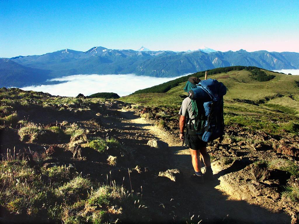
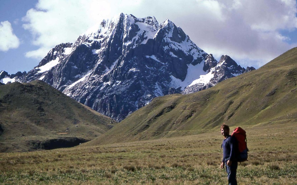
There were no difficult ascents or descents on the trail.
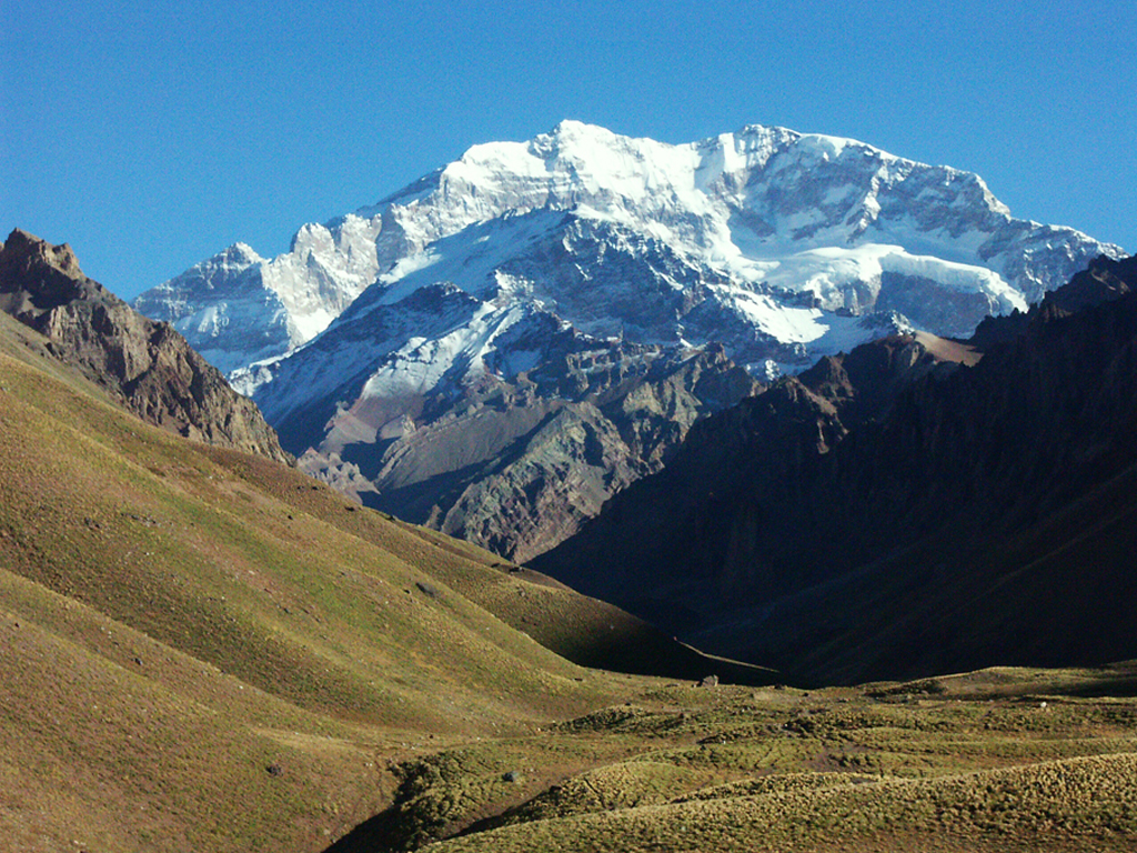
Once on the volcanic plateau, there were wonderful views of the distant volcanoes in the area.
The entire hike was a delight to the eyes and the feet!
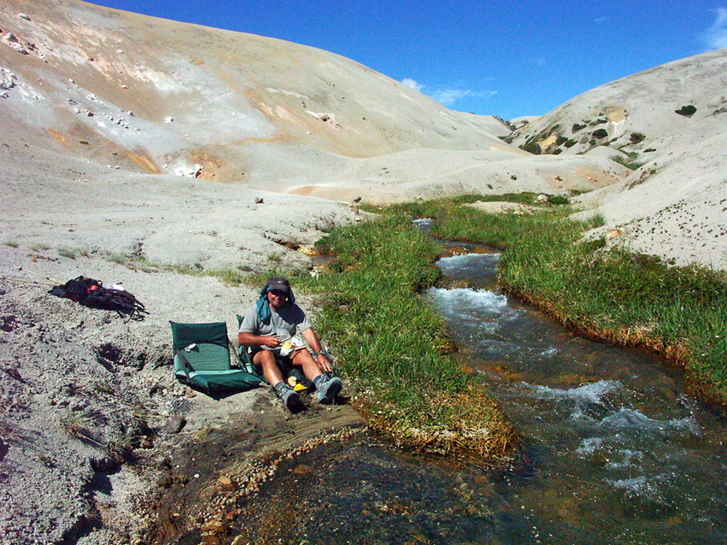
Life centered around the bubbling snow melt streams.
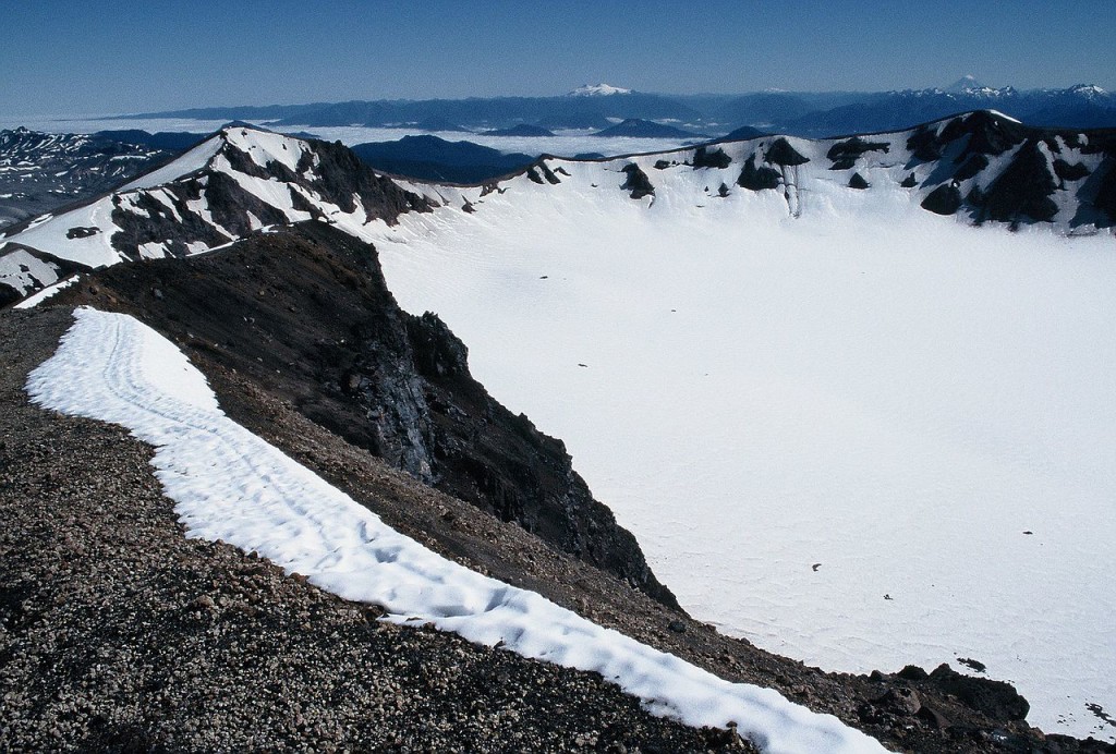
There is a 12 person commercial hut on the slopes of Puyehue Volcano for hikers who ascend to the crater.
It’s primary use is during the winter when skiers make excursions to ski inside the crater!
There are also nice camping facilities in Anticura Sector.
We just pitched our tent at the trailhead.
Copyright Material
All rights reserved. No part of this page may be reproduced or utilized in any form by any means, electronic or mechanical, including downloading, print screen, photocopying, recording, or by any information storage or retrieval system, without the prior written permission by the copyright owner.

