Blois-Chaumont-France
Chateau Chaumont
16 miles (27 km)
Total so far: 1,552 miles (2,497 km)
Ascent: +458 ft (140 m); Descent: -422 ft (129 m)
- World > Europe > France > Centre > Blois – map
- World > Europe > France > Centre > Cande-sur-Beuvron – map
- World > Europe > France > Centre > Chaumont-sur-Loire – map
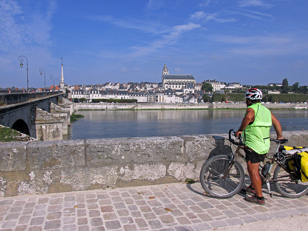
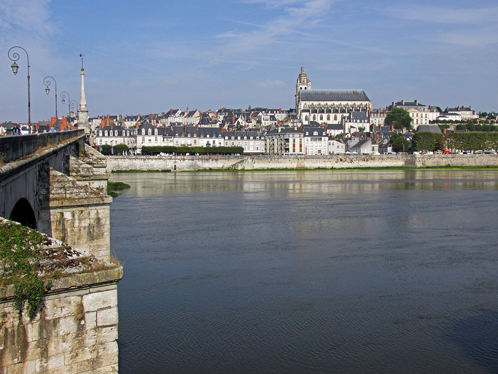
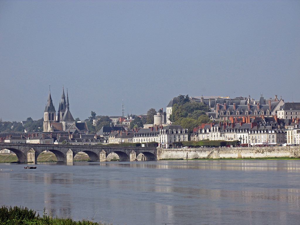
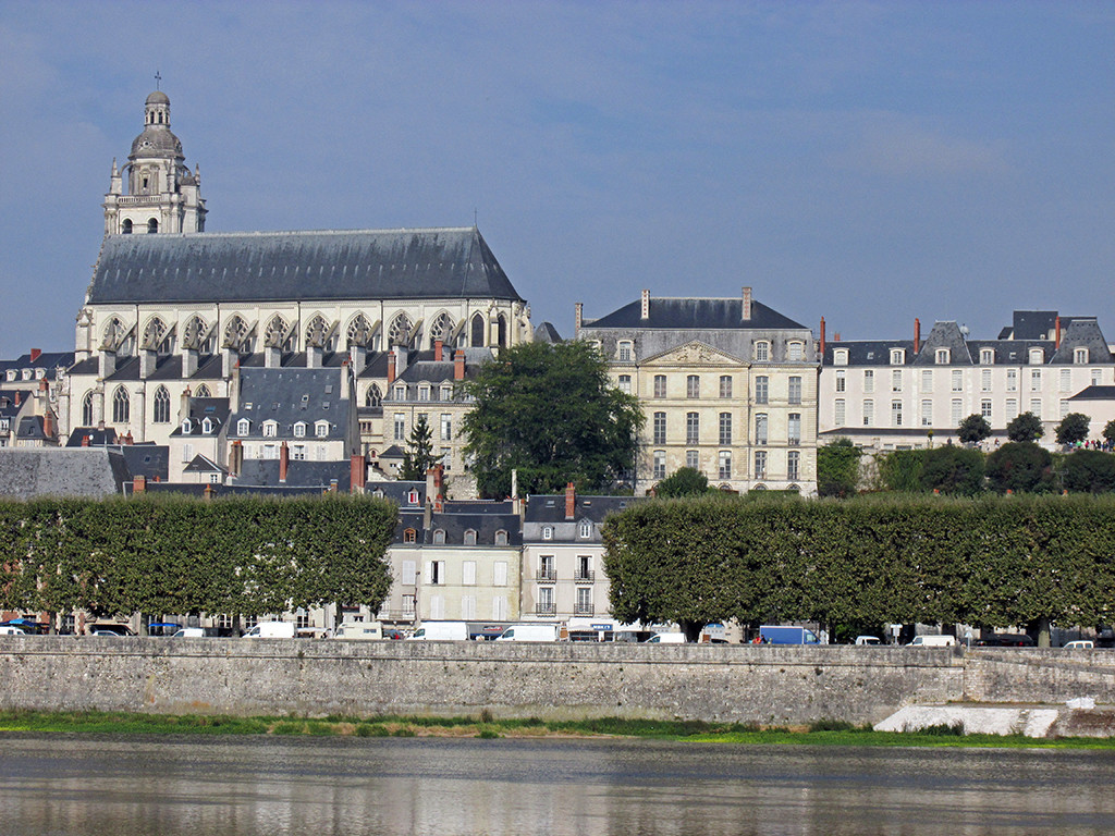
We rode out of Blois with great views of the city.
- Blois-Chaumont-France-Blois
- Blois-Chaumont-France-Blois
- Blois-Chaumont-France-Blois
- Blois-Chaumont-France-Blois
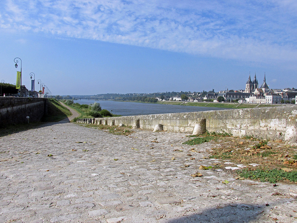
The route followed the Loire River for a ways and then turned inland towards the Château of Chaumont. We passed through very pretty towns on the way.
- Blois-Chaumont-France-Blois-cobblestone
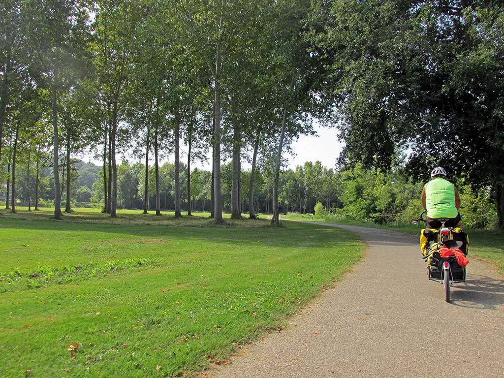
- Blois-Chaumont-France-dedicated bike path
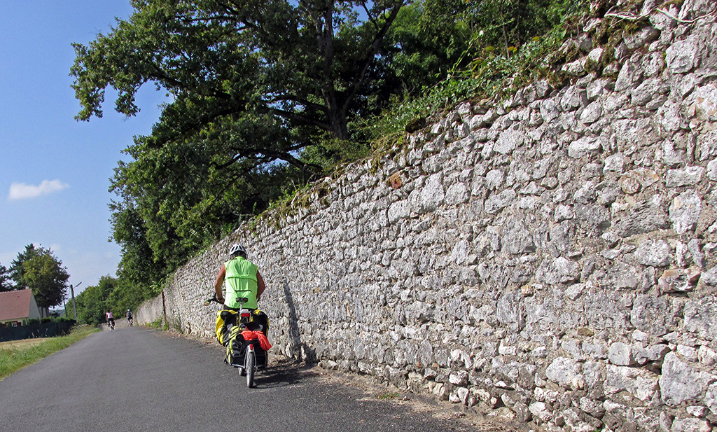
- Blois-Chaumont-France-country road
The inland route goes through several small villages, the prettiest is Cande-Sur-Beuvron. It was a steep climb and very steep descent to the village.

Blois-Chaumont-France-Cande-sur-Beuvron
After Cande-Sur-Beauvron, a dedicated bike path follows the river through very pretty woods. There are numerous picnic areas.

The Château requires a €16 entrance fee per person so we just decided not to go in. Unfortunately, you can’t even see the Château unless you go in. But there are many others to see along this wonderful route. We did take a picture of the poster!

Blois-Chaumont-France-Chaumont chateau
But we decided to stay at the campground which is just a half a kilometer away from the Château in the town. The campground is on the Loire River and is very peaceful and pretty. They supposedly have Wi-Fi at the tiny office, and there are some power plugs in the bathrooms where you can charge your electronics.
