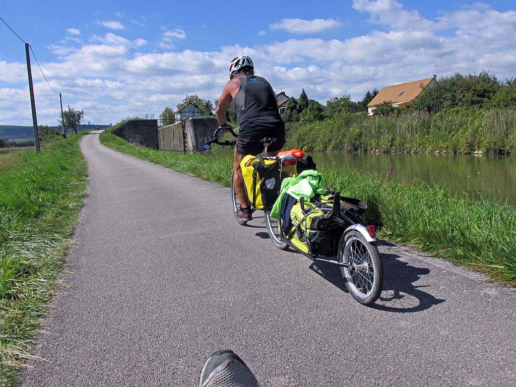
Verdun-St Leger-France
Lack of EV 6 Signs finding the Canal du Centre
42 miles (68 km)
Total so far: 1,236 miles (1,990 km)
Ascent: 1414 ft Descent: 1160 ft
- World > Europe > France > Bourgogne > Verdun-sur-le-Doubs – map
- World > Europe > France > Bourgogne > Chalon-sur-Saone – map
- World > Europe > France > Bourgogne > Saint-Leger-sur-Dheune – map
We left Verdun-Sur-Le-Doubs and followed a torturous route North, West, and South every direction but East. The bike path returned to chip seal and was a rougher surface and not as easy to ride. There were some gravel sections. In some places the route signs were missing and so we took the wrong route in a couple places.
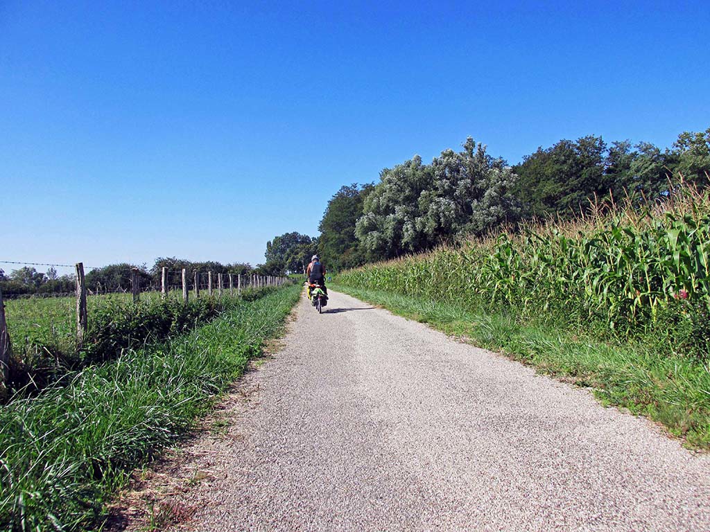
Verdun-St Leger-France-bike path
Chalon-Sur-Saone, where we hoped to see some of the sites in the city, proved to be our undoing. When we got to the outskirts of the city, all the signs for Euro Velo 6 disappeared and we got completely lost. We spent two hours asking directions and getting lost and getting on freeways and highways before we finally found the Canal du Centre. The canal goes all the way to Paris. EV 6 uses the canal route to Digoin and connects the Soane River to the Loire River.
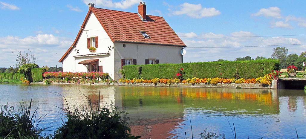
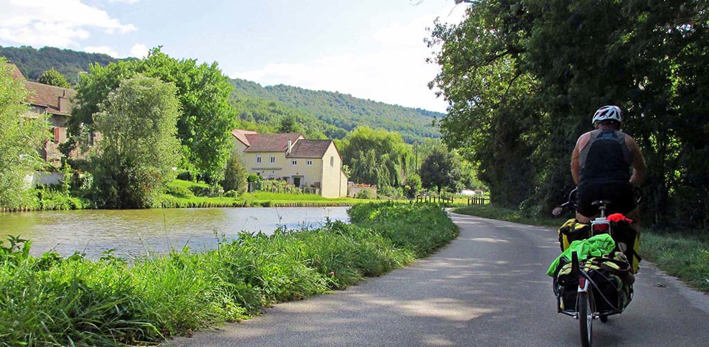
It’s a good thing Anne spoke some French because we have not met many people who speak any English or are willing to speak English. Still the directions were so complicated to find the Canal du Centre and the signs were obviously confusing that it was a difficult task to achieve. So good luck getting in and out of Chalon-Sur-Saone. When we came to this farm house, we finally saw the Canal du Centre sign.
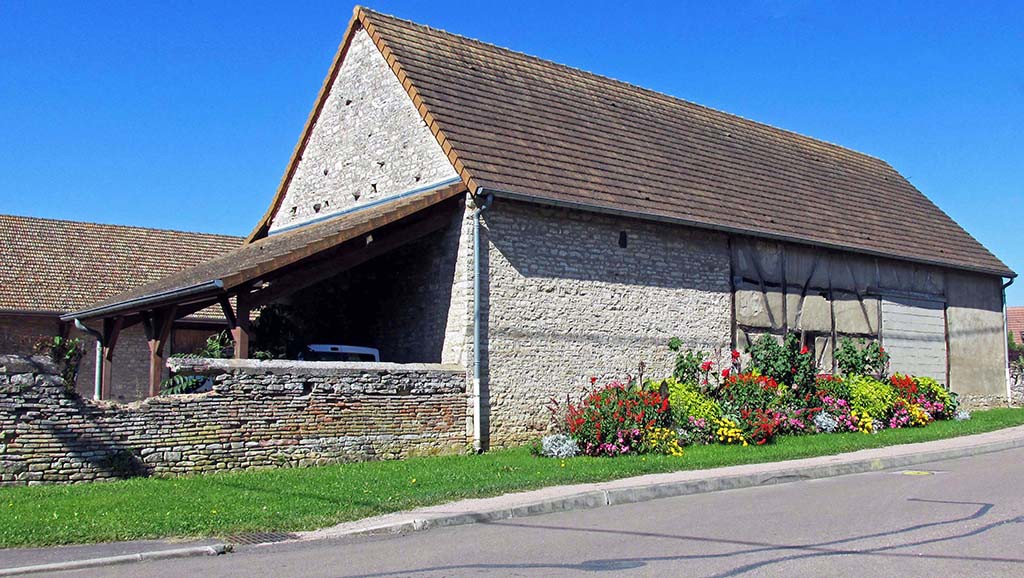
Verdun-St Leger-France-farm building
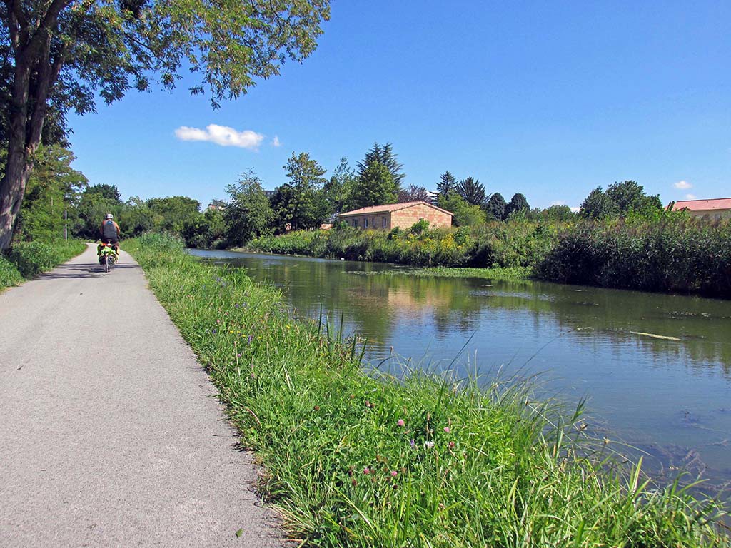
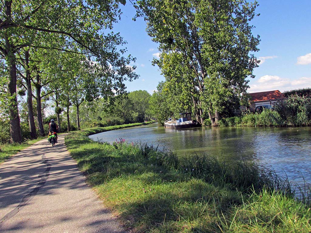
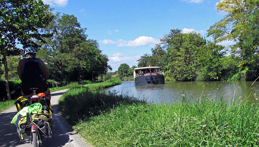
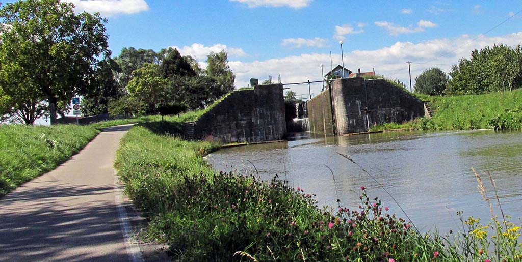
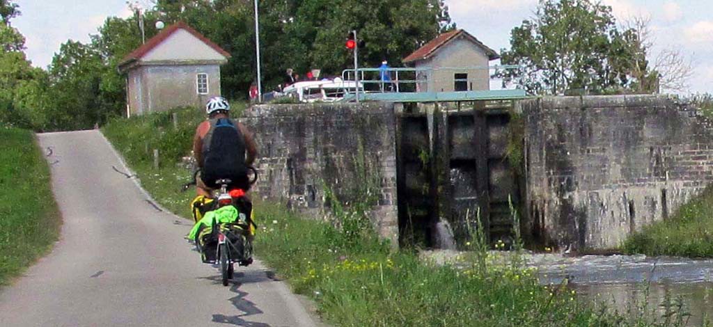
Once we got on the canal, our beautiful pushing wind was now a North wind and headwind, but the canal was absolutely lovely and was easy cycling except for the wind. The canal is going uphill from East to West. Therefore, we had many ramps to climb up to each of the many locks along the canal.
- Verdun-St Leger-France-Canal du Centre
- Verdun-St Leger-France-Canal du Centre
- Verdun-St Leger-France-Canal du Centre
- Verdun-St Leger-France-Canal du Centre
- Verdun-St Leger-France-Canal du Centre
- Verdun-St Leger-France-Canal du Centre
We finally turned the corner and got a pushing wind after Chagny. We were enjoying it so much, we just kept going.
- Verdun-St Leger-France-Canal du Centre
- Verdun-St Leger-France-bike path
- Verdun-St Leger-France-Canal du Centre
- Verdun-St Leger-France-Canal du Centre
There were numerous campsites on the map, but when we got to St. Leger sur Dheune, the last marked camp for many miles, we found that the campsite was not in St Leger, but 10 km away up a steep hill in the wrong direction from our travel. So we spent a good hour wandering around looking for a place to camp. At one point, we were tempted to get a hotel, but we remembered seeing a sign for a dumpsite for campers so as we were on our way out of town, Mike spotted some campers parked down below the road. That was a lucky break for us as it was getting quite late and we were very tired.
We ended up camping at the car park on a piece of grass. There are no toilet provisions at this park. It was called “Aire de Camping-Car and is designed for motor homes with their own facilities. The place provided a dump site for the motor homes.
This is becoming an increasing problem as we travel. There are few public toilets and certainly none along the bicycle route. If the campground is not there and we are not in a private enough place in the woods, it is difficult to take care of business. We are also not eating so much at the French restaurants because we have found them to be extremely expensive. So now we are eating cold deli food for supper that we get at the market.
