Montbeliard-Baume Les Dames-France
Along the Doubs River
39 miles (63 km)
Total so far: 1,096 miles (1,764 km)
Ascent: 1185 ft (361 m); Descent: 1345 ft (410 m)
- World > Europe > France > Franche-Comte > Montbeliard – map
- World > Europe > France > Franche-Comte > Baume-les-Dames – map
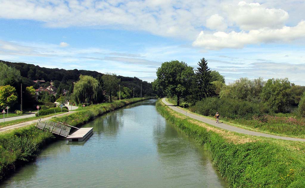
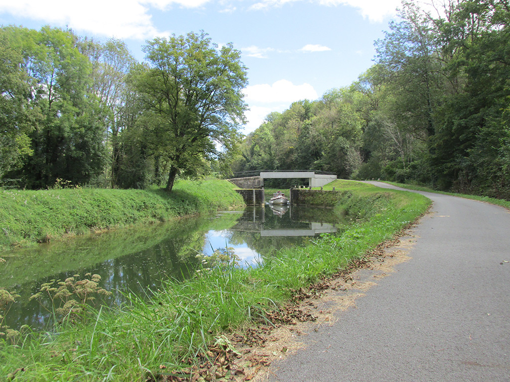
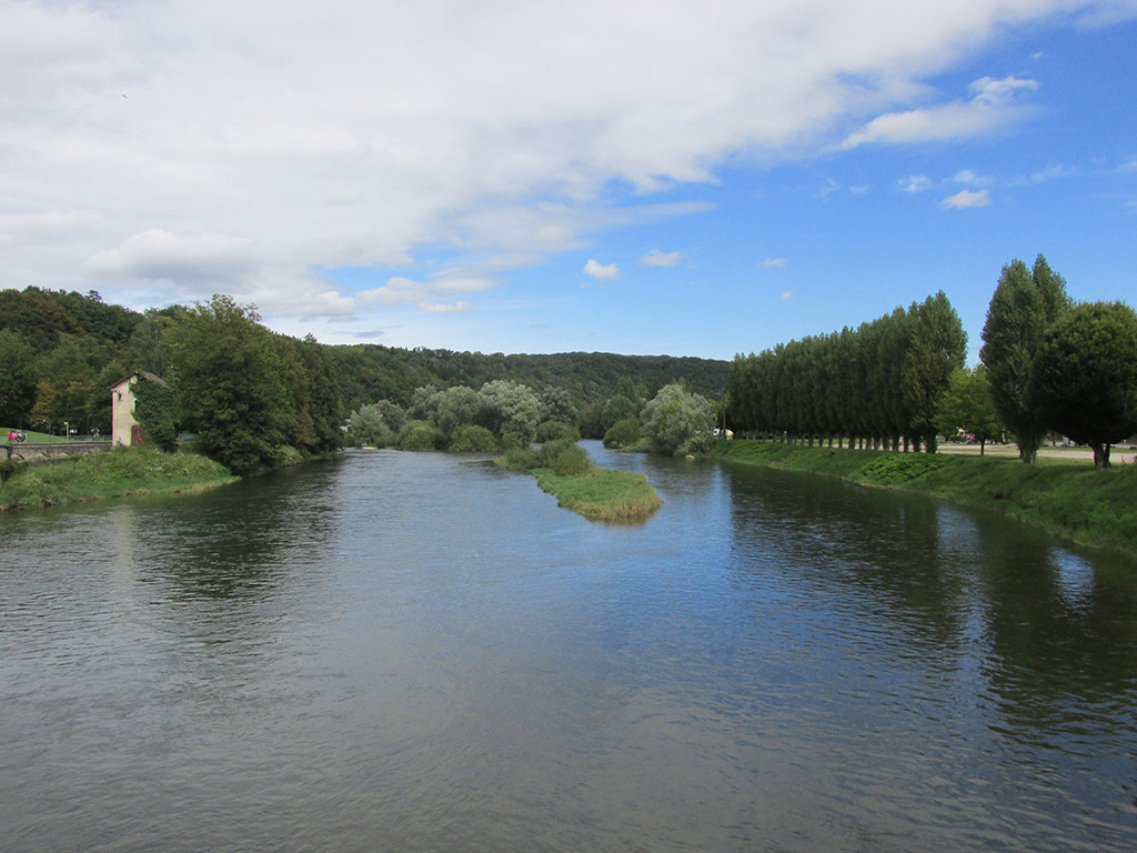
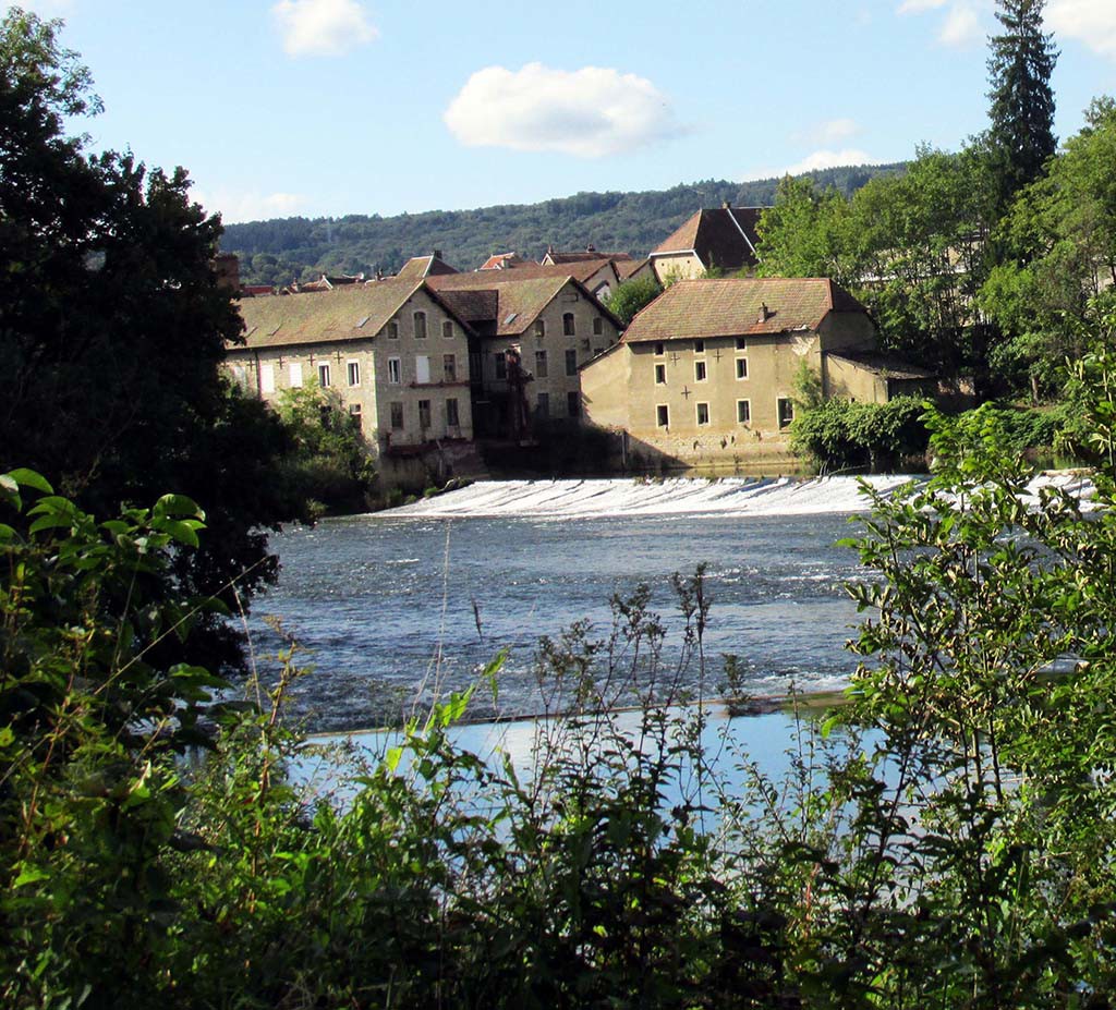
Today we have a beautiful sunny morning. Tomorrow the forecast is for 90% rain so we will bicycle as far as we can and enjoy this beautiful day. We are still following the Canal Du Rhone Au Rhin. But we have entered a new part of France called Le Doubs which is a very pretty river through hilly countryside.
- Montbeliard-Baume Les Dames-France-Canal Du Rhone Au Rhin
- Montbeliard-Baume Les Dames-France-Canal Du Rhone Au Rhin
- Montbeliard-Baume Les Dames-France–Le Doubs River
- Montbeliard-Baume Les Dames-France–Le Doubs River
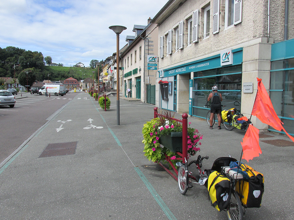
- Montbeliard-Baume Les Dames-France-Montbeliard bike shop
- Montbeliard-Baume Les Dames-France-Montbeliard bike shop
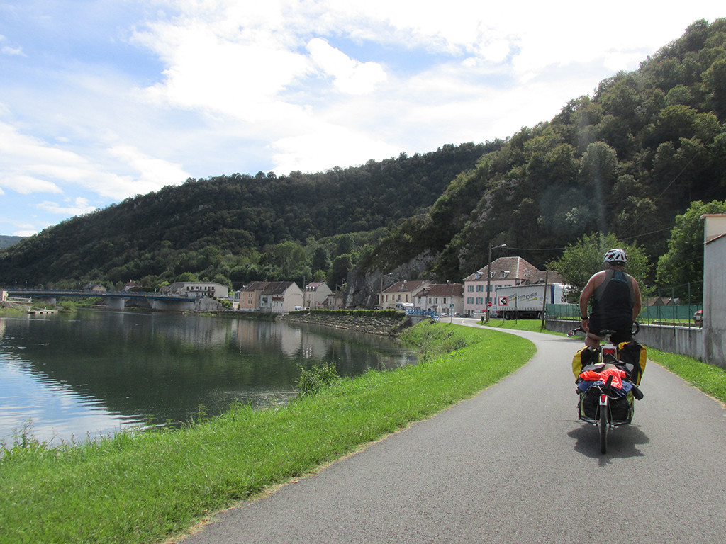
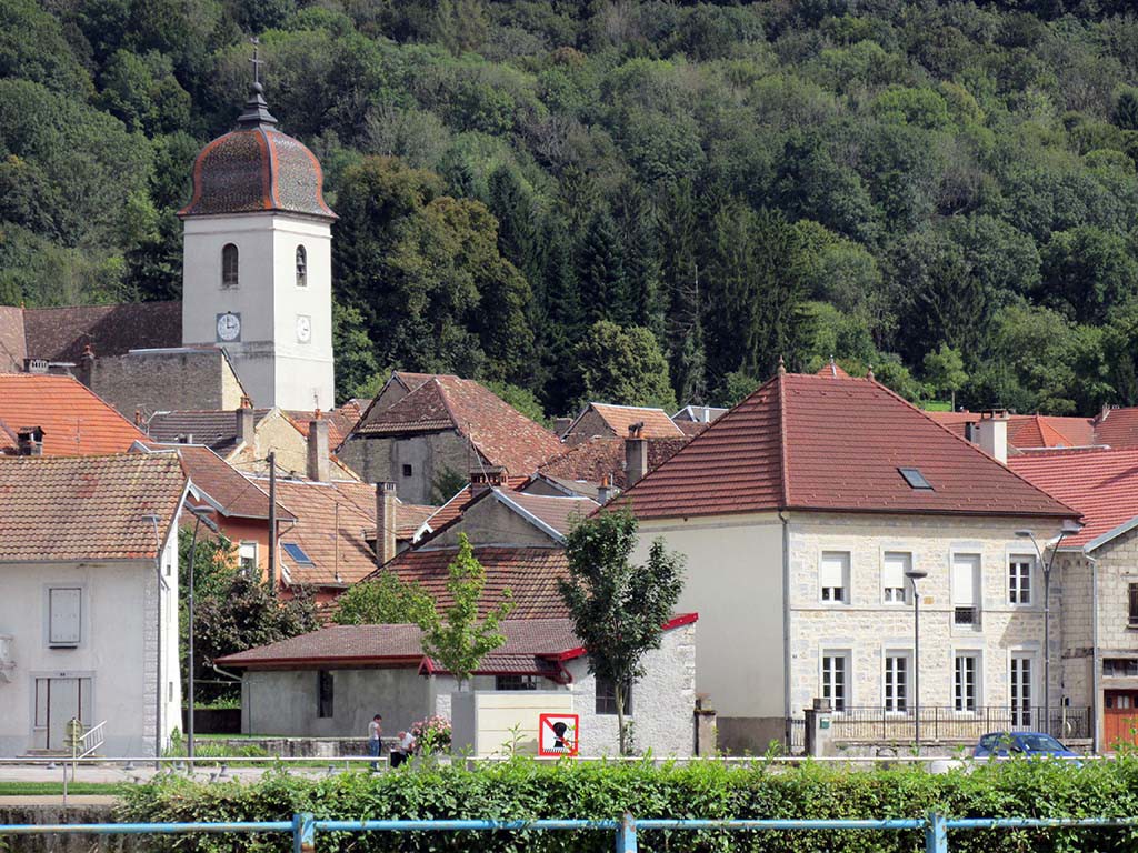
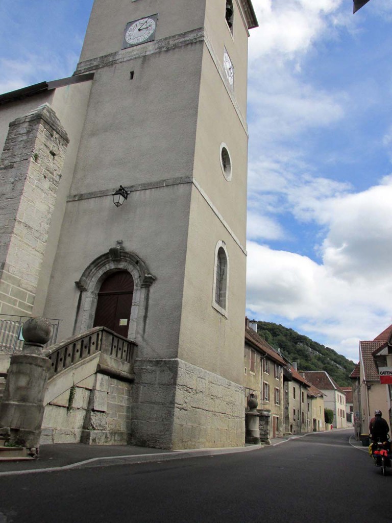
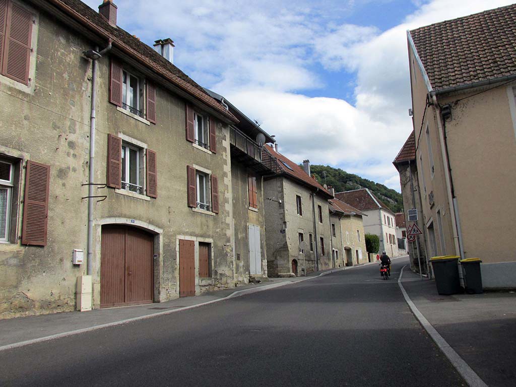
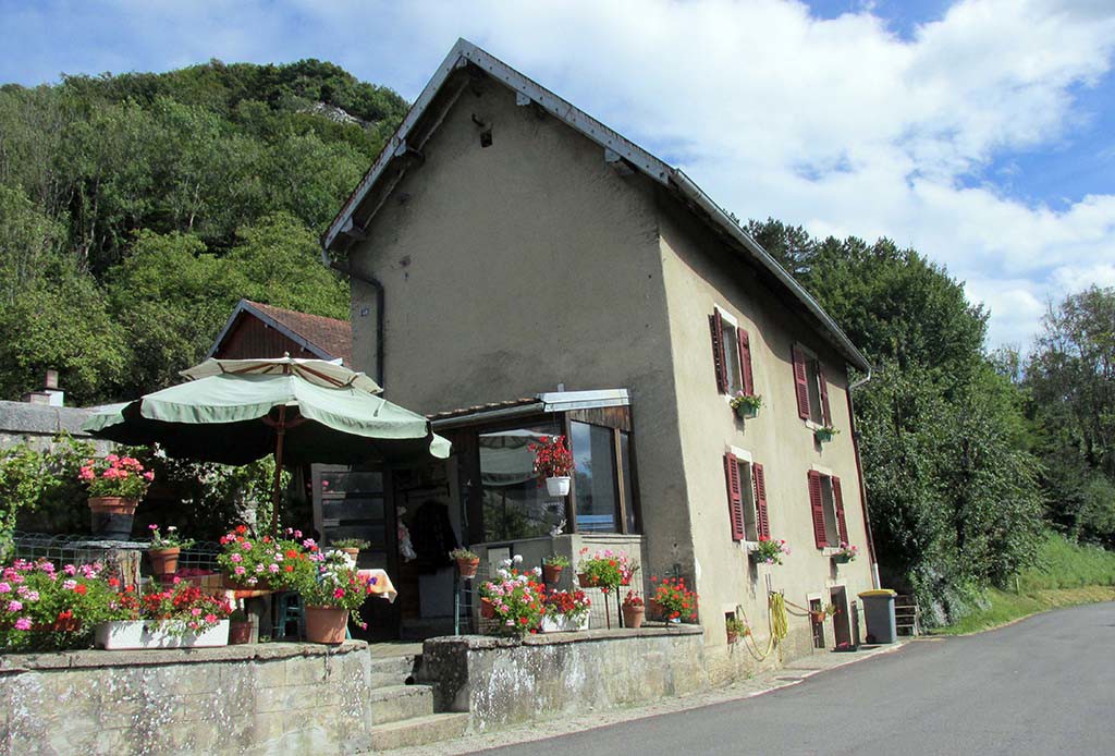
There are two giant hills that we must climb and descend today. The first was easy to bypass by following the highway for 5 kilometers. The second hill, after Clerval, was ridiculously steep both up and down. All the rest of the day we have the beautiful bike path along the canal and the River Doubs. The paving is smooth as butter; what a delicious treat. There are numerous delightful small towns to see along the way.
- Montbeliard-Baume Les Dames-France-unknown charming villages
- Montbeliard-Baume Les Dames-France-unknown church
- Montbeliard-Baume Les Dames-France-unknown charming villages
- Montbeliard-Baume Les Dames-France-unknown charming villages
- Montbeliard-Baume Les Dames-France–Le Doubs River
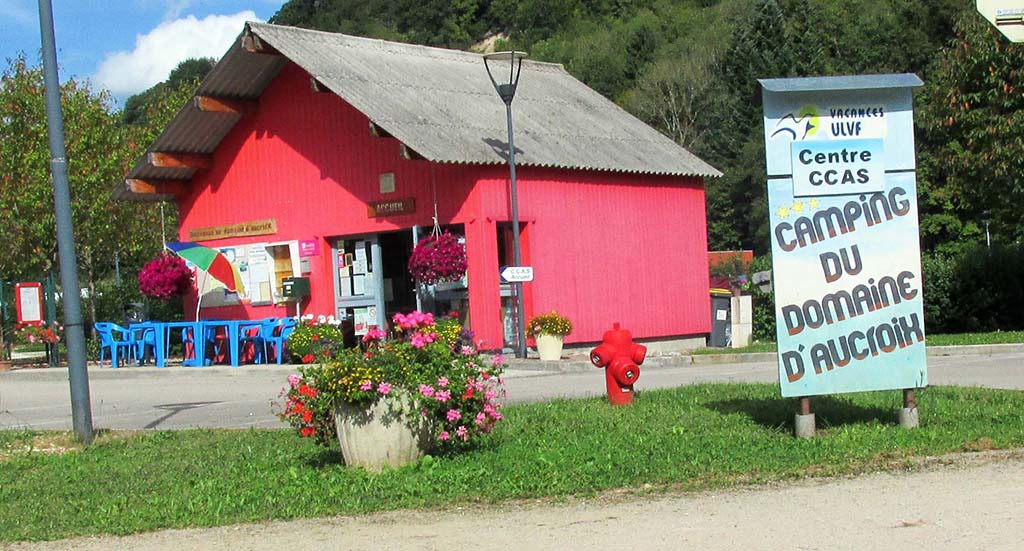
Montbeliard-Baume Les Dames-France-campground
Our legs are tired so we will take a day off at this lovely campsite. We have about 1100 kilometers to go.
We met two German cyclists at the campground who made that distance in 12 days! We hope to be able to do it in 30!

