- Guidebooks should excite you.
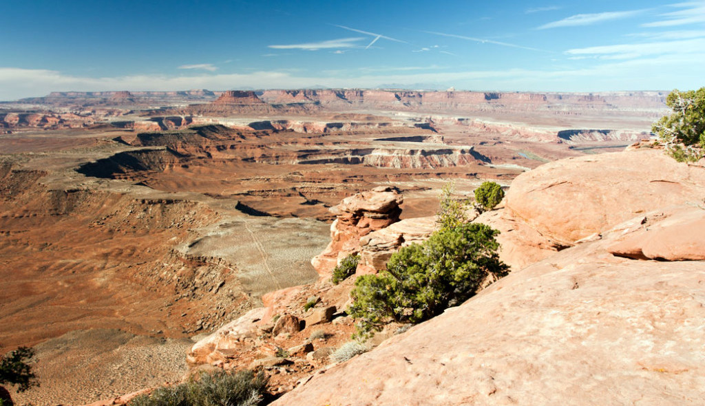
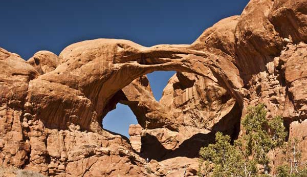
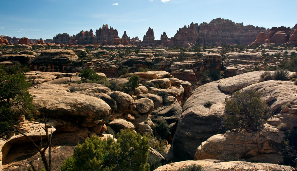
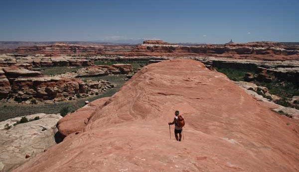
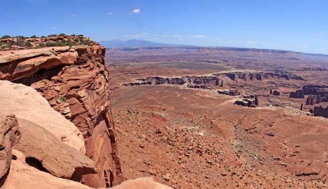
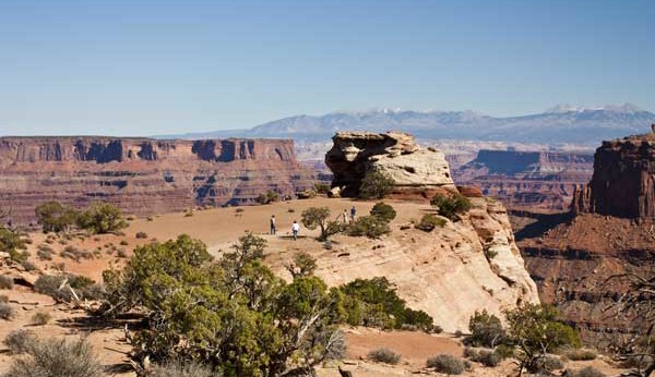
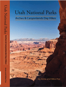
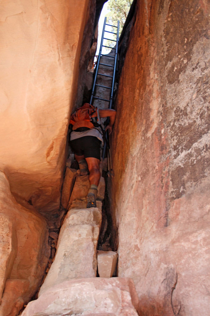
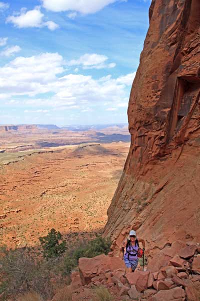
- Pictures are worth more than a thousand words. Color pictures equal a million. The colors in Arches and Canyonlands are sublime and thrilling. Massive rock walls, spires, and buttes in shades of red, purple, beige and white stand firmly outlined by the blue sky. The vast open space melts into the haze of extreme distance.
You see color when you hike.
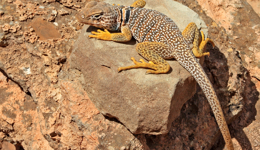
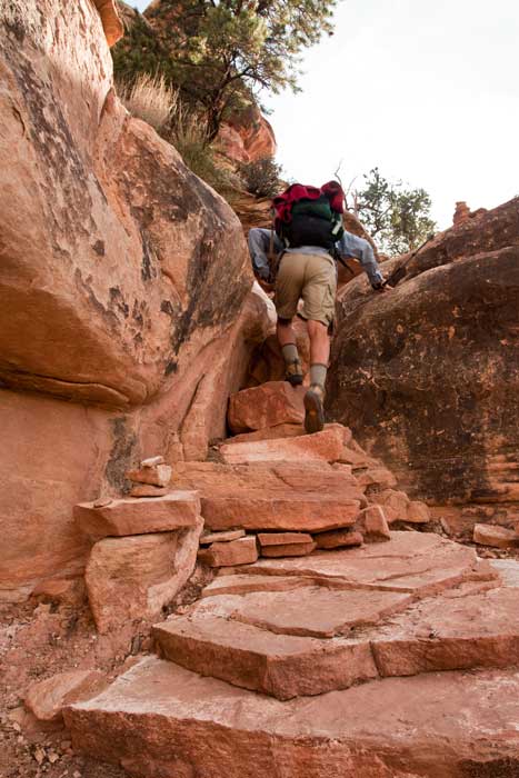
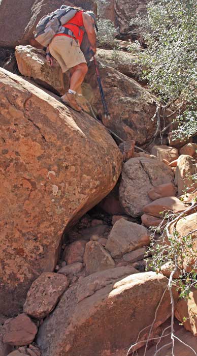
- In our opinion, such magic cannot be adequately portrayed through black and white photography. Our 200+ photos show you, in color, what you can expect to see on the trail and why you might like to go and enjoy it in person.
- Guidebooks should be user friendly.
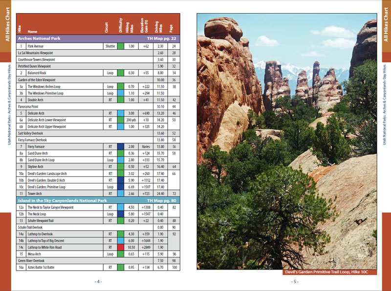
- The Hikes Chart (Table of Contents) on the first page of the book categorizes every trail by difficulty, hiking miles, total elevation gain, and driving miles!
No more flipping through pages to compare hikes!
- Important Data is quick and easy to find. You don’t need to read through a lot of text.
- Color Coding: Our books use visual data. All the trails and profiles use colors to define difficulty levels.
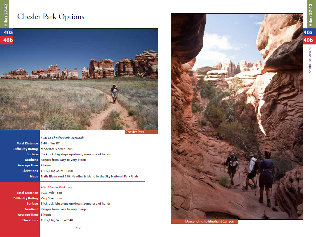
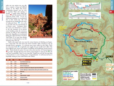
- The important data (Total Distance, Difficulty Rating, Surface, Gradient, Average Time, Elevations, Maps) are always on the first page and highlighted in a colored box. If the box is green, the hike is Easy, etc!
- Next is always a Summary of the highlights of the hike. What will I see!
- Then, Directions to the Trailhead follow.
All these important topics are easy to see at a glance.
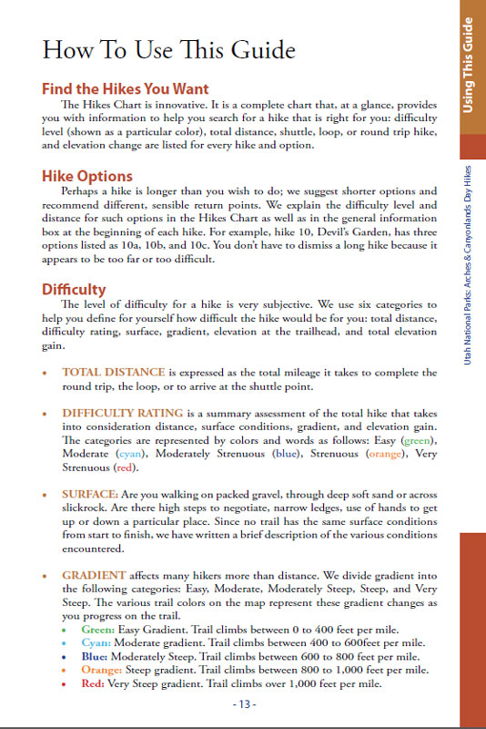
Under the topic Difficulty, there is an explanation of how we use different colors to show overall difficulty of the hike.
Easy, Moderate, Moderately Strenuous, Strenuous and Very Strenuous.
Under the topic Gradients, we use the same colors to illustrate the various degrees of steepness.
• Green: Easy Gradient. Trail climbs between 0 to 400 feet per mile.
• Cyan: Moderate gradient. Trail climbs between 400 to 600feet per mile.
• Blue: Moderately Steep. Trail climbs between 600 to 800 feet per mile.
• Orange: Steep gradient. Trail climbs between 800 to 1,000 feet per mile.
• Red: Very Steep gradient. Trail climbs over 1,000 feet per mile.
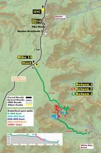
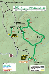
Our maps and elevation profiles use these colors as visual aids.
- Guidebooks should guide
- They should provide a variety of information for all levels of hikers so they can choose the hikes best suited and most rewarding for them.
- Don’t miss a long or difficult trail because of distance or desire. Choose a shorter, less difficult option for the trail. We break it all down for you and select logical return points.
Our guide book gives you options.
- Guidebooks should have maps!
- Good maps are the essence of a great guidebook.
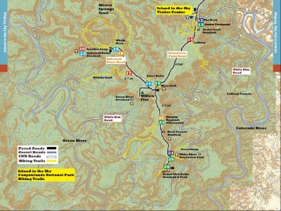
- For each area, Arches, Island in the Sky and Needles, there is an overview map with all the trailheads and scenic overlooks located.
- Trail mileages as well as road mileage between all points of interest are in red and black italics between arrows.
Roads are designated as paved, gravel or 4WD.
- There is a detailed map for each hike, and elevation profiles for all but the very flat hikes.
- Good maps bring the trail to life.
- Guidebooks should be accurate
- The writers need to have hiked the trails themselves.
Which brings up an important point about our guide book.
Why can’t we find your book for sale at the Park Service Visitor Centers?
- We submitted our book for review with the Park Service. They rejected it.
- The primary reason was: our mileages and elevations differed from theirs.
- We pondered this issue for quite a while. or, we could stay with our own figures.
We could copy their figures and resubmit the book,
- We collected our data for every hike with a GPS. After hiking some trails and plotting the GPS data on a map, we realized that the route on the ground and on the existing maps did not coincide. Nor did some of the distances and elevations.
So we re-hiked those trails some of them 3 times!
- No GPS is 100% accurate. But, we decided to stay with the data we collected rather than simply copy the data already published.
We stand by our figures.
- Back of Beyond Book Store in Moab believes our hiking Arches-Canyonlands National Parks guide book has something special to offer their clients. They are the only store in Moab to carry this book.
You can buy it on Amazon.com
NEW!
Now you can also buy our books in PDF digital format. PDF is compatible with all PC computers, IOS systems and Androids such as your tablet or phone. Click on “Digital Store” button to go to our download page.
Read the reviews that buyers have written about us. We appreciate their honesty! Then, if you already have used our book, share your opinions and write your own review. We welcome all comments.
Copyright Material
All rights reserved. No part of this page may be reproduced or utilized in any form by any means, electronic or mechanical, including downloading, print screen, photocopying, recording, or by any information storage or retrieval system, without the prior written permission by the copyright owner.

